


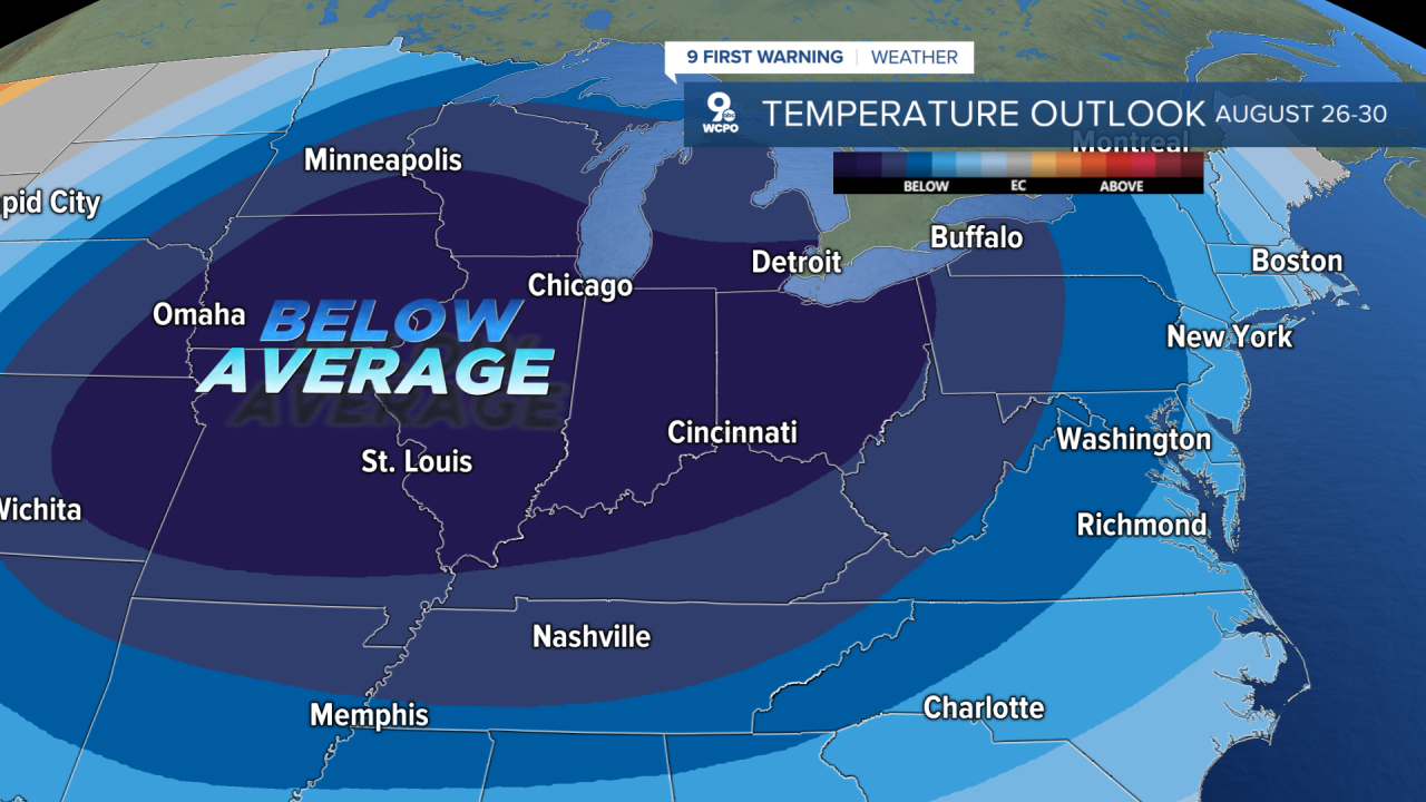
The forecast for the next several days is summed up by the temperature trend below from the Climate Prediction Center. Not only are we going to experience mainly below-average temperatures in the next few days, but we also have an 80% chance of seeing cooler temps into the Labor Day Weekend.
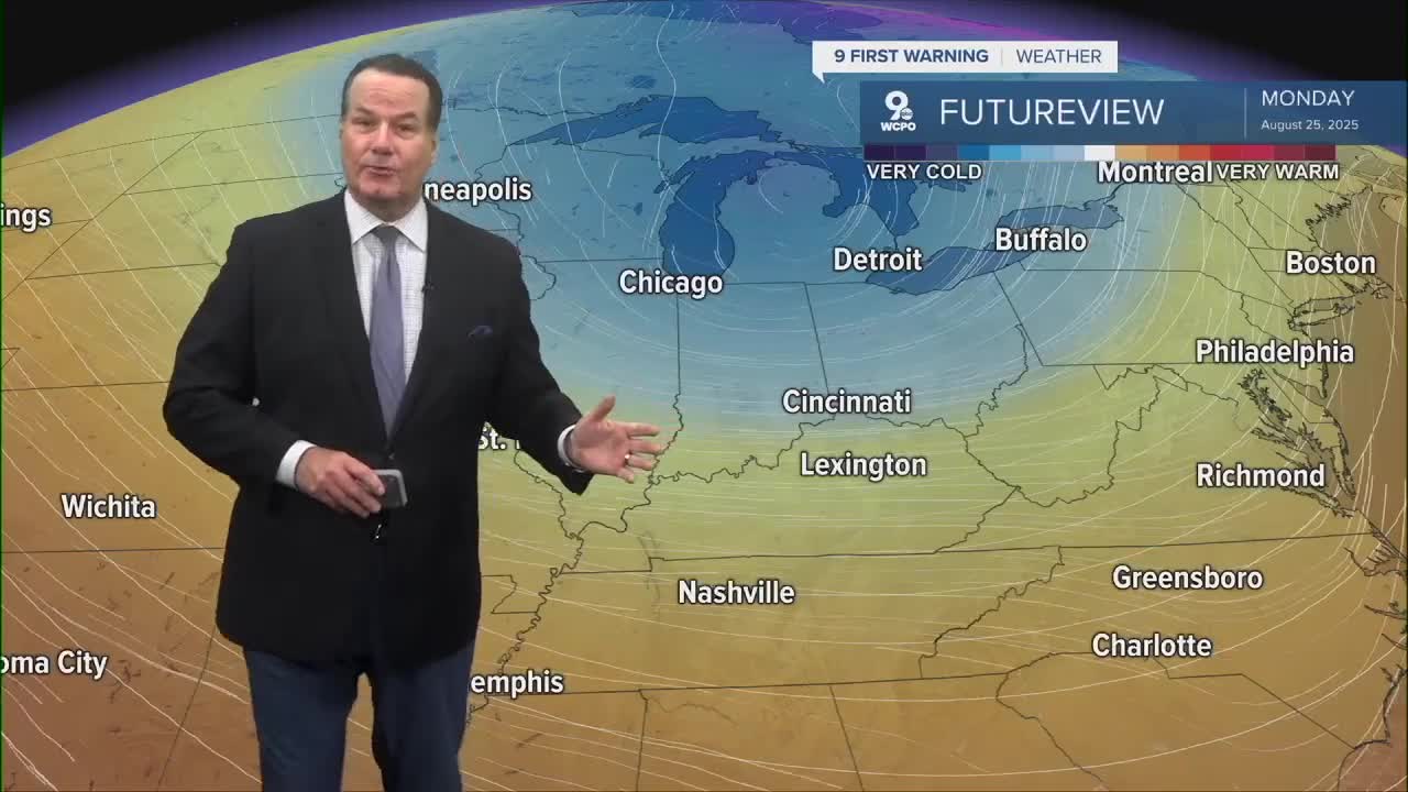
In the meantime, clouds will continue around the area through the morning as lows start the day in the low to mid-60s. I do think that drier air will filter in on Thursday, allowing skies to turn partly sunny. Afternoon highs will reach the upper 70s to low 80s.
More sunshine on Friday and Saturday will boost the highs a few degrees into the mid to upper 80s. But it's the Canadian cold front that will really spark a change.
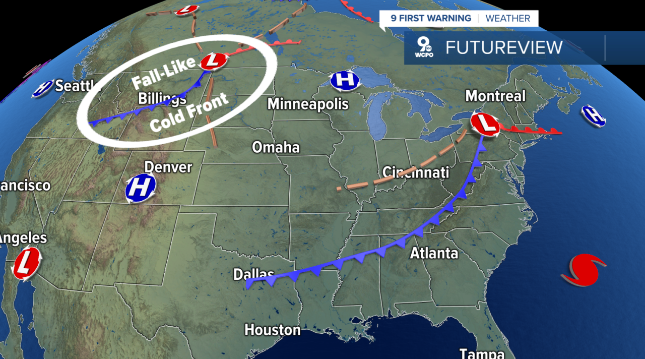
Highs will be 10-15 degrees cooler than usual, making it feel like Fall. Morning lows will plummet to the low 50s in some areas and will only rise to the mid to upper 70s!
OVERNIGHT
Mostly cloudy
Mild
Low: 65
THURSDAY
Clouds early
Partly cloudy later
High: 80
THURSDAY NIGHT
Partly cloudy
Mild
Low: 64
9 First Warning Weather 24/7 Livestream
==========
- Interactive Radar: Track weather to your doorstep
- Sign up for severe weather email alerts
- Check latest school closings and delays
- WCPO traffic updates
- Metro bus detours and updates (or call the hotline at 513-632-7538)
- Latest power outages from Duke Energy
- Flight cancellations and delays from CVG, other U.S. airports
