


The weather pattern over Cincinnati this next week is basically going to feel like spring trying to warm up, but getting interrupted every couple of days by cooler air and passing systems.
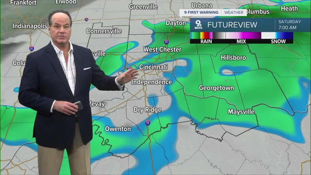
Showers and rain are becoming more widespread, and everyone will continue to see showers as a disturbance moves into the Tri-State. The atmosphere really is not very unstable, so while there could be a quick rumble of thunder somewhere, this mainly looks like a steady light rain setup instead of anything strong or severe. Specifically, a weak cold front pushes more showers through overnight into early Saturday morning. Rain amounts generally look fairly light.

By Saturday, things improve as the morning showers taper off and skies gradually start clearing later in the day. Winds could get a little breezy at times, but overall, Saturday afternoon actually looks pretty decent with temperatures climbing into the low 70s, which is right about average for this time of year. Saturday night also looks fairly quiet with clearer skies and milder overnight conditions.
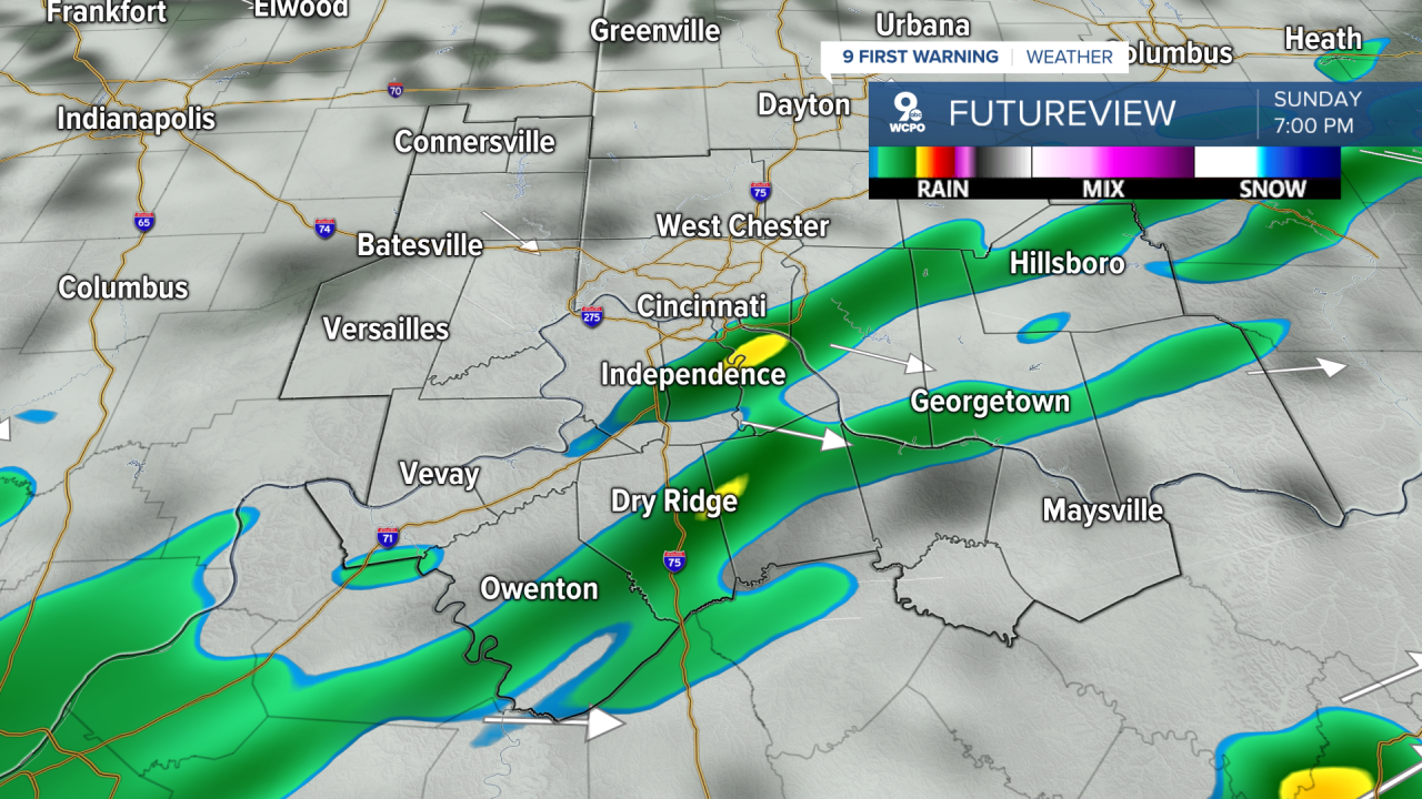
Sunday is another one of those “keep an eye on the sky” kind of days. Another cold front moves in, and while the setup does not look especially strong, scattered showers and a chance for isolated thunderstorms may develop during the late afternoon and evening. Again, the atmosphere only develops weak instability, so this currently does not look concerning. Once that system moves through Sunday night, cooler air settles back into the Ohio Valley.
Early next week actually looks really nice overall. Monday and Tuesday bring sunshine with cooler mornings and comfortable afternoons, with highs mainly in the low to upper 60s. But the broader weather pattern still features a large trough over eastern North America, so the cooler-than-normal trend sticks around. By Tuesday night into Wednesday, another disturbance brings another likely round of showers before conditions improve again later next week with more sunshine and temperatures recovering back into the lower 70s by Thursday.
OVERNIGHT
Showers
Chance storms
Low: 53
SATURDAY
Chance rain early
Gradual Clearing
High: 73
SATURDAY NIGHT
Fair skies
Increasing clouds
Low: 54
MOTHER'S DAY
Mostly cloudy
Scattered showers develop afternoon/evening
High: 69
9 First Warning Weather 24/7 Livestream
==========
- Interactive Radar: Track weather to your doorstep
- Sign up for severe weather email alerts
- Check latest school closings and delays
- WCPO traffic updates
- Metro bus detours and updates (or call the hotline at 513-632-7538)
- Latest power outages from Duke Energy
- Flight cancellations and delays from CVG, other U.S. airports
