

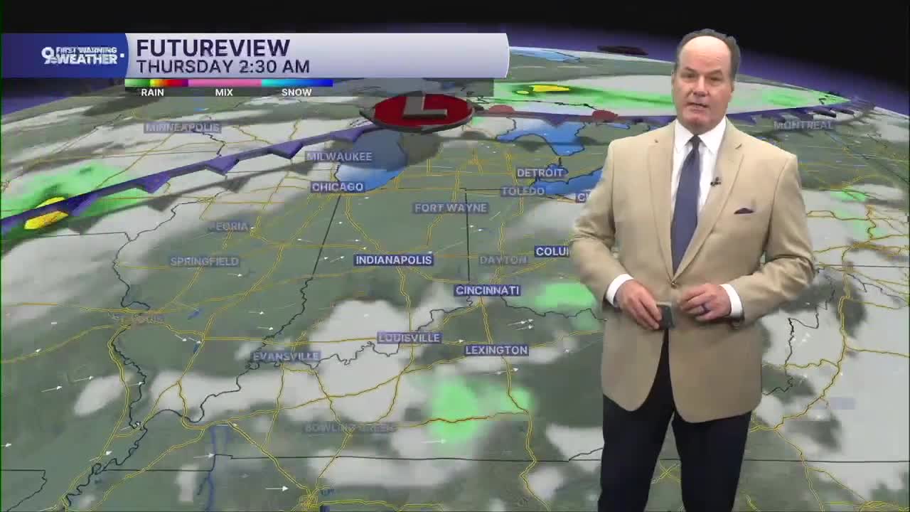


After a quiet and mostly cloudy night with lows in the upper 60s, we could see patchy fog early. Wednesday turns seasonally hot again with afternoon highs in the mid 80s. Most of the day will stay dry with plenty of sunshine. Still, as we head into the middle and late afternoon, a few isolated showers and thunderstorms could develop, especially near the Ohio River and into northern Kentucky.
Any storm that forms may produce brief heavy downpours and frequent lightning, but many neighborhoods will remain dry. A stray shower or storm is still possible Wednesday night, with temperatures holding near 70.

Thursday follows a similar pattern with sunshine for much of the day, highs again in the upper 80s, and another chance for scattered showers and thunderstorms developing during the afternoon. Rain chances increase noticeably Thursday night as a slow-moving weather system approaches from the north, bringing more widespread showers and thunderstorms into the Tri-State by late night.

Friday looks like the wettest day of the forecast, with periods of showers and thunderstorms expected through much of the day. The atmosphere will contain plenty of moisture, so some locations could see heavy rainfall, and repeated rounds of rain may increase the risk for localized flooding. Showers and storms remain likely Friday night before becoming more scattered later.
As we head into the weekend, the forecast stays unsettled. Saturday brings a mix of clouds and some sunshine with scattered showers and thunderstorms possible, especially during the afternoon. Rain chances ease a bit Saturday night, but they do not disappear completely. Sunday continues the pattern with partly sunny skies, warm temperatures in the upper 80s, and another chance for scattered showers and thunderstorms as the slow-moving weather system gradually shifts away from the region.
TONIGHT
Partly cloudy
Overnight patchy fog
Low: 68
WEDNESDAY
Partly cloudy
Spotty p.m. storms
High: 86
WEDNESDAY NIGHT
Partly cloudy
Muggy
Low: 68
9 First Warning Weather 24/7 Livestream
==========
- Interactive Radar: Track weather to your doorstep
- Sign up for severe weather email alerts
- Check latest school closings and delays
- WCPO traffic updates
- Metro bus detours and updates (or call the hotline at 513-632-7538)
- Latest power outages from Duke Energy
- Flight cancellations and delays from CVG, other U.S. airports
