


Warm and muggy outthere as we head into the overnight but we are dry. Skies should be mostly clear to partly with a few passing clouds and we will have temperatures into the low 70s.

Monday will be very similar to Sunday. Mostly sunny, hot, humid, & a small chance at isolated afternoon storms. Temperatures will be back into the upper 80s and low 90s with a feels like temp nearing 100-degrees.
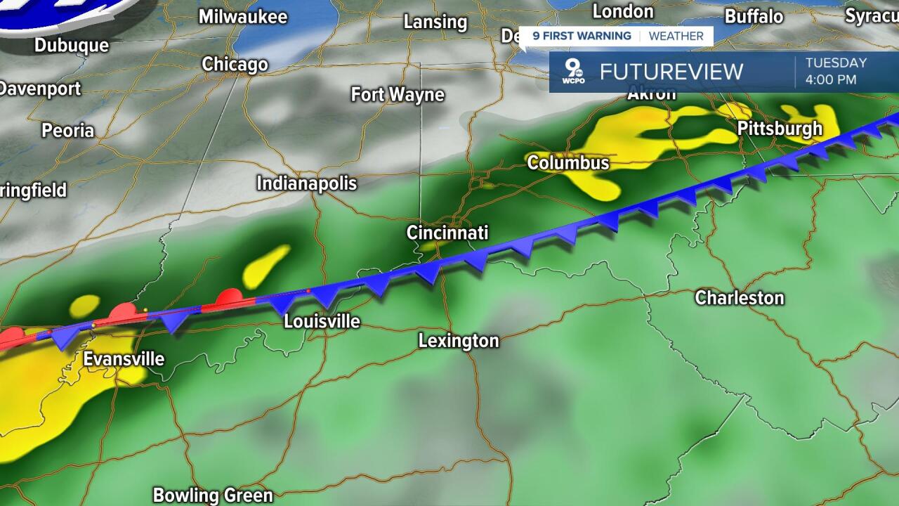
We will have a front stall out over the Tri-State and Ohio River Valley as we move into Tuesday and Wednesday which will keep rain chances with us both days before it final clears out. This could bring more heavy rainfall to some areas. That could mean that some areas see some flooding.
Thursday looks nice with some sunshine, but a midday cold front may bring another chance at a few showers and storms, however that front will bring a big change as we close the week.

At this point, Friday and Saturday look gorgeous with cooler temperatures and a break from the heat. Humidity will be low too! Overnight temps will be down into the upper 50s and low 60s with afternoons in the upper 70s and low 80s. Oh yeah… Sunshine both days too!
THIS EVENING
Partly cloudy
Isolated storms
High: 88
SUNDAY NIGHT
Partly cloudy
Warm and muggy
Low: 71
MONDAY
Partly cloudy
Isolated afternoon showers
High: 89
MONDAY NIGHT
Isolated rain chance
Warm and muggy
Low: 72
9 First Warning Weather 24/7 Livestream
==========
- Interactive Radar: Track weather to your doorstep
- Sign up for severe weather email alerts
- Check latest school closings and delays
- WCPO traffic updates
- Metro bus detours and updates (or call the hotline at 513-632-7538)
- Latest power outages from Duke Energy
- Flight cancellations and delays from CVG, other U.S. airports
