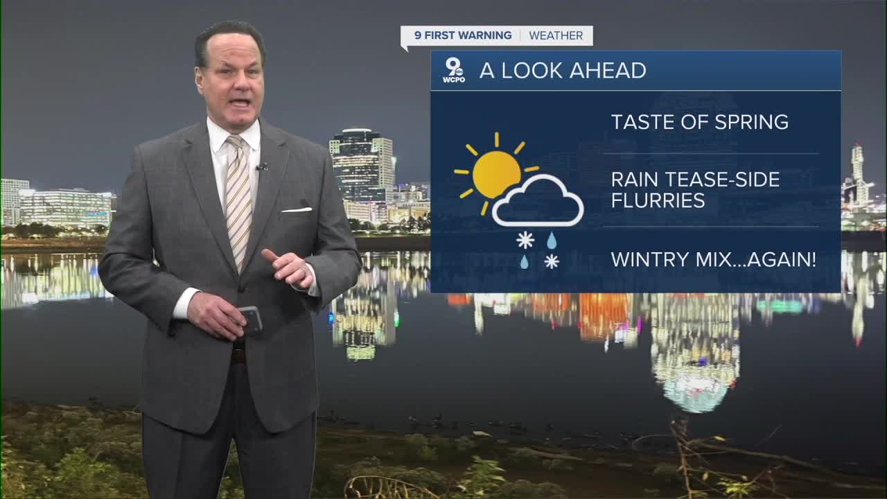


It's a quiet overnight for us as temperatures will drop into the lower 30s with mostly clear conditions. Friday brings a sunnier, much milder day, with highs near 60 degrees, and Friday night stays clear too, with lows near 40°.
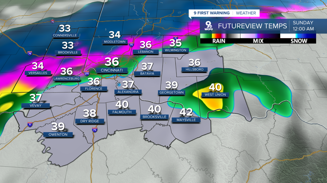
As for the weekend, Saturday looks pretty nice with mostly sunny skies early and another warm day near 60°, but as we get into Saturday afternoon and night, clouds will thicken, and there’s a chance of rain transitioning to a little rain and snow late with lows around freezing. I don’t expect much accumulation, but we could get around an inch, perhaps a bit more toward daybreak Sunday. The low that brings the precip will keep Sunday on the chilly and cloudy side with highs in the low 40s.
Sunday night into early Monday, you could see snow more likely mainly overnight, with lows dropping into the mid-20s and a 60% chance of snow Sunday night. While it’s a bit early for any totals, we could see moderate snow.

Then on Monday during the daytime, there’s a chance of a few more flurries with temperatures struggling to reach the upper 30s, with the probability around 40%.
OVERNIGHT
Mostly clear
Low: 31
FRIDAY
Sunshine
Pleasant
High: 60
FRIDAY NIGHT
Fair skies
Mild
Low: 40
9 First Warning Weather 24/7 Livestream
==========
- Interactive Radar: Track weather to your doorstep
- Sign up for severe weather email alerts
- Check latest school closings and delays
- WCPO traffic updates
- Metro bus detours and updates (or call the hotline at 513-632-7538)
- Latest power outages from Duke Energy
- Flight cancellations and delays from CVG, other U.S. airports
