


A few snowflakes will linger this evening. Temperatures will remain below freezing in the low/mid 20s through the overnight.

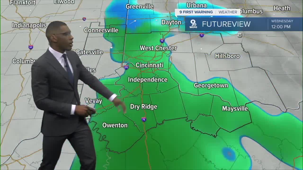
Another round of light snow returns on Wednesday morning. We're not expecting any significant impacts to travel, and we'll likely see snow transitioning over to rain by midday.

The warming trend begins Wednesday afternoon. Get ready for temperatures to warm up into the mid-40s.
We will continue to see rising temperatures this week. Temperatures are expected to warm to 60 on Thursday, along with increasing rain chances, then 65 on Friday. The weekend brings highs back near 70 degrees!
TUESDAY NIGHT
Mostly cloudy
Still cold
Low: 22
WEDNESDAY
Mostly cloudy
Light snow to a wintry mix
High: 45
WEDNESDAY NIGHT
Mostly cloudy
Not as cold
Low: 35
9 First Warning Weather 24/7 Livestream
==========
- Interactive Radar: Track weather to your doorstep
- Sign up for severe weather email alerts
- Check latest school closings and delays
- WCPO traffic updates
- Metro bus detours and updates (or call the hotline at 513-632-7538)
- Latest power outages from Duke Energy
- Flight cancellations and delays from CVG, other U.S. airports
