


Skies have cleared around the area and winds continue from the northwest. This means cooler air will move in and we'll drop to near freezing across the Tri-State.
High pressure moves in on Wednesday giving us a mostly sunny forecast with seasonal temperatures in the upper 50s. And then, we get to Reds' Opening Day! It'll be a bit chilly early in the day before the winds shift to the south. You'll notice for the graphic below, it will feel good for the first pitch.
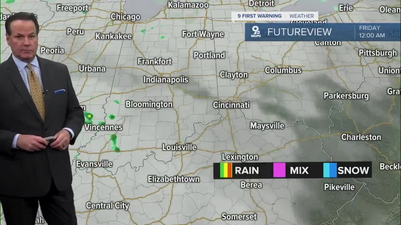
Showers and storms return on Friday. A cold front will trigger rain early in the day, but the front looks to get here around the evening hours, at the earliest. We will see strong storms with the possibility of severe weather.
The weekend looks very windy to start with gusts to 30 mph on Saturday. Plus, there's a chance for showers around daybreak. Winds subside on Sunday as we see a mix of clouds and sun through the 48 hours.
OVERNIGHT
Clear skies
Colder
Low: 32
WEDNESDAY
Mostly sunny
Seasonal
High: 57
WEDNESDAY NIGHT
Few clouds
Chilly
Low: 30
9 First Warning Weather 24/7 Livestream
==========
- Interactive Radar: Track weather to your doorstep
- Sign up for severe weather email alerts
- Check latest school closings and delays
- WCPO traffic updates
- Metro bus detours and updates (or call the hotline at 513-632-7538)
- Latest power outages from Duke Energy
- Flight cancellations and delays from CVG, other U.S. airports
