


Monday night looks quiet across the Cincinnati area with mostly clear skies and cool conditions as high pressure remains in control.
By Tuesday, sunshine continues with temperatures recovering into the upper 60s before clouds begin increasing later in the day ahead of the next disturbance approaching from the west. Specifically, another front brings showers likely after Tuesday evening with rain chances continuing into Wednesday as that system moves through the Tri-State.

Wednesday stays partly sunny at times with additional scattered showers possible before conditions begin improving Wednesday night.
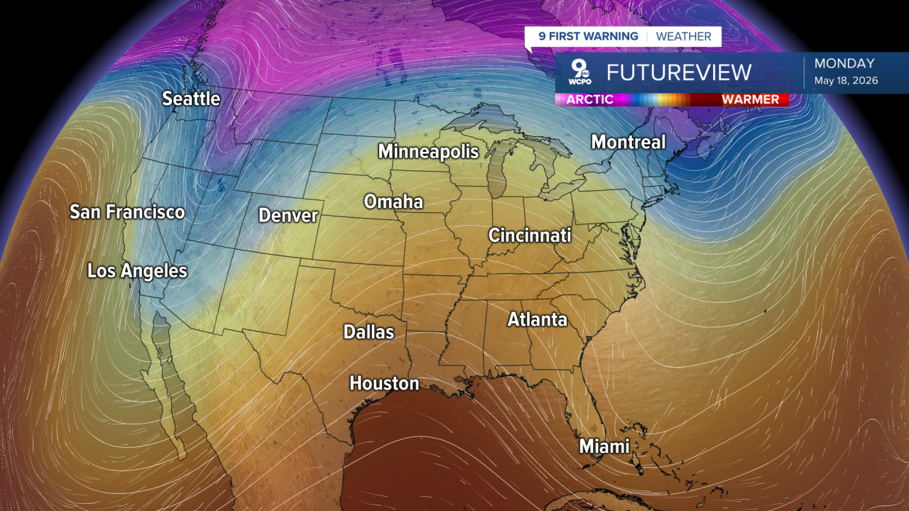
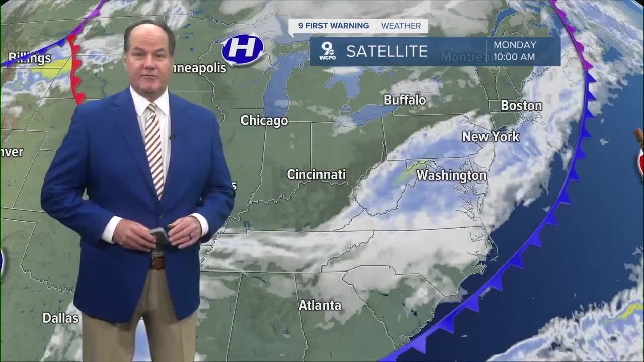
The overall weather pattern through midweek is still being driven by a system over the eastern half of the country, which keeps temperatures generally a little below normal for mid-May. However, a gradual warming trend develops later in the week.

By Thursday, skies will become mostly sunny again with highs returning into the lower 70s. Friday into the weekend currently looks warmer, and as we head into the weekend, afternoon highs reach the 80s.
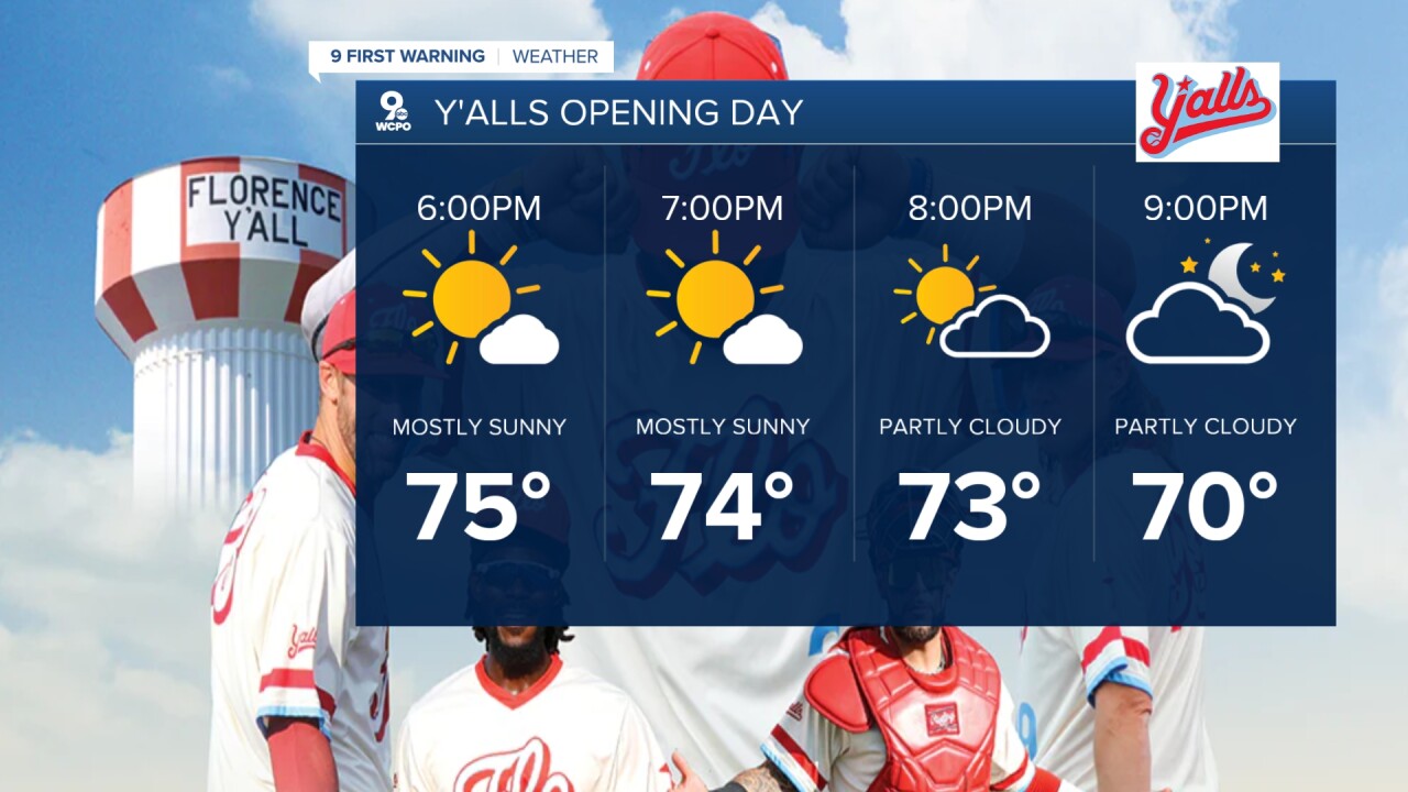
Let's go out to the ballpark! The Florence Y'alls have their Home Opening Day on Tuesday evening. Expect a comfortable evening outside with temperatures in the low 70s at first pitch.
OVERNIGHT
Clear skies
Cooler
Low: 45
TUESDAY
Mostly sunny
Warmer
High: 75
TUESDAY NIGHT
Chance scattered showers
& storms
Likely overnight
Low: 58
9 First Warning Weather 24/7 Livestream
==========
- Interactive Radar: Track weather to your doorstep
- Sign up for severe weather email alerts
- Check latest school closings and delays
- WCPO traffic updates
- Metro bus detours and updates (or call the hotline at 513-632-7538)
- Latest power outages from Duke Energy
- Flight cancellations and delays from CVG, other U.S. airports
