


Overnight, should stay fairly quiet across the region. Expect mostly cloudy skies with morning temperatures settling into the upper 50s. Winds will become light out of the south after gusty winds earlier.

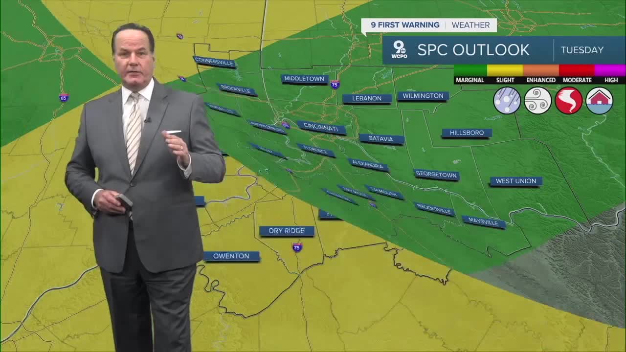
On Tuesday, the atmosphere starts to change as milder air moves into the Ohio Valley. Clouds will increase through the day with temperatures climbing into the low to mid 70s. While much of the day should stay dry, a few showers could begin to develop later Tuesday night as moisture increases and winds pick up out of the south.
Wednesday is the first day we will need to watch more closely for active weather. Temperatures may climb to around the low 70s with gusty southwest winds. A front could trigger scattered rain showers and a few thunderstorms during the day. The Storm Prediction Center has placed us in a "Slight Risk"-category 2 out of 5.

Later in the week, another system may approach the region, keeping chances for rain in the forecast Thursday night into Friday morning. Some showers are possible as the system passes through.
By the weekend, the system should move east, and conditions will gradually improve. Expect partly sunny skies on Friday with highs near 60 degrees. Saturday currently looks cooler with highs in the 50s and a mix of clouds and sun. Right now, Sunday looks wet and potentially snowy, but this forecast still needs to completely take shape.
OVERNIGHT
Mostly cloudy
Mild
Low: 58
TUESDAY
Mostly cloudy
Chance Rain
High: 74
TUESDAY NIGHT
Mostly cloudy
Chance rain & storms late
Low: 62
9 First Warning Weather 24/7 Livestream
==========
- Interactive Radar: Track weather to your doorstep
- Sign up for severe weather email alerts
- Check latest school closings and delays
- WCPO traffic updates
- Metro bus detours and updates (or call the hotline at 513-632-7538)
- Latest power outages from Duke Energy
- Flight cancellations and delays from CVG, other U.S. airports
