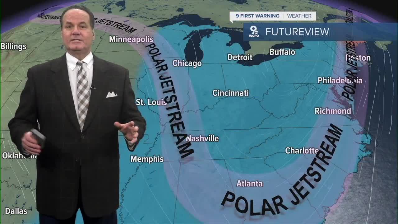


More changes are on the way tonight into Friday. We’ve had our arctic air sweep in, and now we have a bit of snow to contend with for the commute.

Temperatures fall into the upper teens and lower 20s by morning. Northwest winds will make it feel colder than the temperature shows.
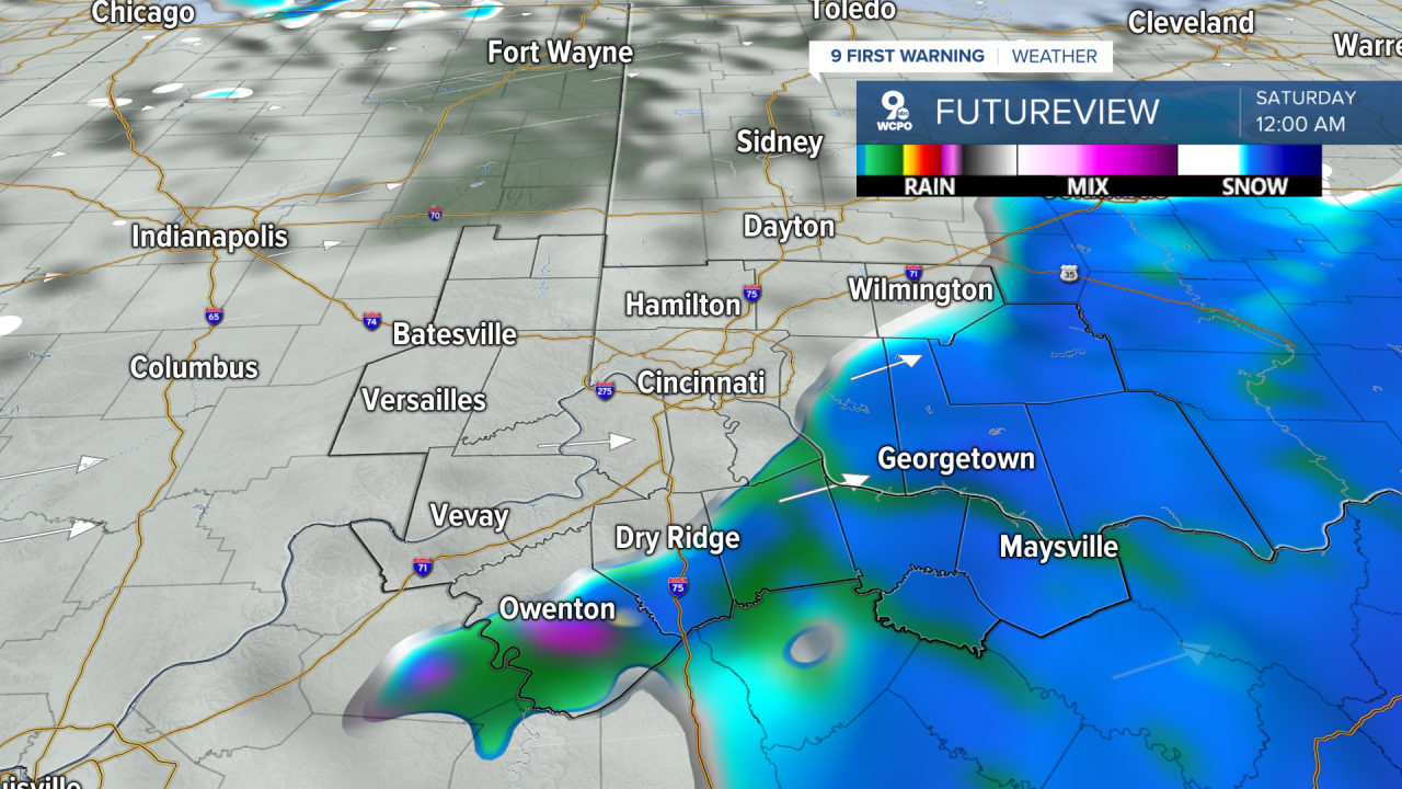
There will be a band of light snow into the morning, but coverage should be limited. Roads could be slick in spots, especially on untreated surfaces. Most areas will see a dusting. However, a few snow bands could produce a bit more snow. Travel Friday morning could be slow or slippery in places, particularly during the commute, before conditions improve later in the afternoon.

Friday highs will reach about 40 degrees, so snow that falls during the day will be wet and not add much on roads. Friday night into Saturday, there remains a more significant chance of additional snow that could produce light accumulaton is some Tri-State communities, likely east and southeast of Greater Cincinnati
It’s a frigid start to the weekend. Saturday morning lows begin in the teens, and we’ll be lucky to break freezing, and agai,n there’s a chance for spotty snow showers. Sunday should be mostly dry and partly to mostly sunny with much colder temperatures in the teens and mid 20s all day.
OVERNIGHT
Broken Clouds
Flurries likely
Low: 21
FRIDAY
Morning light snow & windy
Afternoon and evening wintry mix possible
High: 39
FRIDAY NIGHT
Mostly cloudy
Flurries
Low: 28
9 First Warning Weather 24/7 Livestream
==========
- Interactive Radar: Track weather to your doorstep
- Sign up for severe weather email alerts
- Check latest school closings and delays
- WCPO traffic updates
- Metro bus detours and updates (or call the hotline at 513-632-7538)
- Latest power outages from Duke Energy
- Flight cancellations and delays from CVG, other U.S. airports
