


Overnight, everyone will be dry with partly cloudy skies as temperatures drop into the upper 60s for Sunday morning.
After a dry start to the day, scattered showers and storms will start to pop up again in the afternoon and continue into the evening. It's likely less than half the Tri-State gets hit by the rain on Sunday, which means a lot of spots will stay dry, so don't cancel your outdoor plans. Dry areas will be mostly cloudy and muggy with highs in the mid 80s.

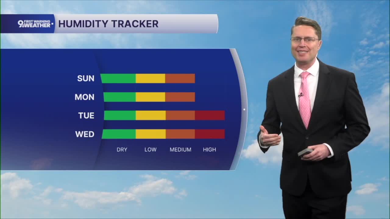
Daily rounds of scattered rain and storms will continue through the first half of the workweek. Like the weekend, there will be a lot of dry areas each day too. Temperatures will continue to push into the mid 80s each afternoon, and the humidity pushes a touch higher by midweek.

Thursday only brings a very small chance for rain, allowing us to heat up into the upper 80s.
Scattered showers and storms return Friday, but the following weekend looks drier.
OVERNIGHT
Partly cloudy
Warm
Low: 68
SUNDAY
Mostly cloudy
Spotty p.m. storms
High: 85
SUNDAY NIGHT
Mostly cloudy
Warm
Low: 68
MONDAY
Mostly cloudy
Spotty storms
High: 86
9 First Warning Weather 24/7 Livestream
==========
- Interactive Radar: Track weather to your doorstep
- Sign up for severe weather email alerts
- Check latest school closings and delays
- WCPO traffic updates
- Metro bus detours and updates (or call the hotline at 513-632-7538)
- Latest power outages from Duke Energy
- Flight cancellations and delays from CVG, other U.S. airports
