


Storms in the Tri-State have caused FC Cincinnati to delay the start time of its "Hell is Real" match at TQL Stadium. The team did not say when the match would start from its original 7:30 p.m. kickoff time.
Cincinnati officials are urging anyone outdoors near TQL Stadium to seek shelter and monitor weather information as heavy rain and lightning are possible.
🌩️ WEATHER UPDATE:
— FC Cincinnati (@fccincinnati) July 12, 2025
Due to thunderstorms in the area, the start of tonight’s match will be delayed. The clubs will provide updates when available.
If you have not made your way inside TQL Stadium, please delay entry until further updates can be provided.
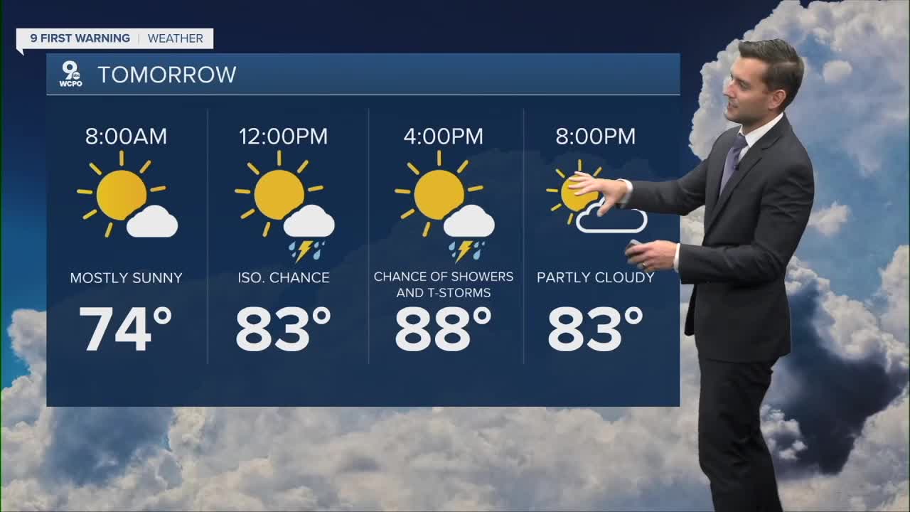
Showers started firing up around noon and will become more scattered across the Tri-State into the evening. We’re under a “Marginal Risk” for severe weather, so while most storms will stay below severe limits, a few could get a little stronger. Highs will reach the low 90s.
After sunset, things quiet down, and we’ll stay mostly dry through Sunday morning. By midday, however, storms return and will persist into the afternoon. Highs on Sunday are expected to be near 90.
SATURDAY
Mostly Sunny
PM storms
High: 90
SATURDAY NIGHT
Mostly clear
Mild
Low: 71
SUNDAY
Partly Sunny
Isolated storm
High: 89
9 First Warning Weather 24/7 Livestream
==========
- Interactive Radar: Track weather to your doorstep
- Sign up for severe weather email alerts
- Check latest school closings and delays
- WCPO traffic updates
- Metro bus detours and updates (or call the hotline at 513-632-7538)
- Latest power outages from Duke Energy
- Flight cancellations and delays from CVG, other U.S. airports
