We continue a streak of late summer heat for the Tri-State. We fell just shy of 90° heat with a 89 high temperature on Monday.

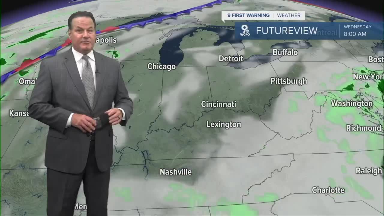
Overall, we'll redo this same forecast just about all week. I will say that we'll likely see a few extra clouds on Tuesday because of an area of low pressure off the Carolina coast. So, we could have partly cloudy skies at times without any wet weather. Highs once again climb to the upper 80s.

Fall arrives in one week, and it does appear that conditions will be more seasonal by then. The average high is 80 degrees at this time of the year.

A cold front is expected to arrive later this week, bringing our next rain chance. By Sunday, there is a 30% chance of wet weather, but other long-range outlooks suggest a higher chance for wet weather on Monday.
Also, the precipitation outlook from the Climate Prediction Center is leaning slightly above normal for the next (6 to 10) days.

OVERNIGHT
Partly cloudy
Calm
Low: 63
TUESDAY
Mostly sunny
Very warm
High: 87
TUESDAY TONIGHT
Mostly clear
Mild
Low: 62
9 First Warning Weather 24/7 Livestream
==========
- Interactive Radar: Track weather to your doorstep
- Sign up for severe weather email alerts
- Check latest school closings and delays
- WCPO traffic updates
- Metro bus detours and updates (or call the hotline at 513-632-7538)
- Latest power outages from Duke Energy
- Flight cancellations and delays from CVG, other U.S. airports


