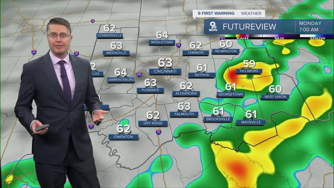


After our dry and warm Sunday, a few isolated showers are possible overnight. These turn into scattered rain into the Monday morning commute, but about half of us could see a dry drive into work and school. It will also be mild with low 60s in the morning.
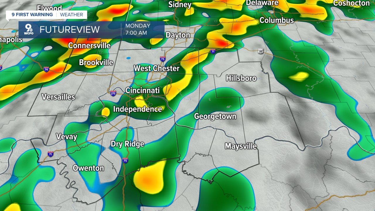
Early Monday afternoon, the scattered rain moves out of the Tri-State. While a majority of us will get hit by one of the showers, there will be a number of places that stay dry. The afternoon will be mostly cloudy and breezy with highs in the mid 70s.
Tuesday will be warmer and a little breezy with low 80s. Another wave of scattered rain will move through in the evening and night with about half of the region seeing the rain. Take the rain gear to Great American Ball Park just in case downtown gets hit by some of the rain.
The heat continues Wednesday with low 80s again. There will be some hit and miss rain during the second half of the day, but it looks like Indiana and Ohio have a better chance of getting hit by some of that rain compared to Kentucky.
We drop down into the mid 70s Thursday with yet another round of scattered rain starting in the afternoon. It looks like more of us will get hit by some of this rain.
Everyone stays dry Friday with more clouds than sunshine, but we warm into the low 80s.
More scattered rain is on track for the weekend. There's a better chance this will impact your Saturday plans, but we are still keeping a slim chance for rain around on Sunday right now. Temperatures will be dropping over the weekend. Saturday will be in the upper 70s, followed by mid 60s on Sunday.
The mid 60s continue Monday with a lot of sunshine, but we could get back to 70 on Tuesday.
OVERNIGHT
Mostly cloudy
Isolated rain
Low: 63
MONDAY
Mostly cloudy
Scattered rain
Breezy
High: 76
MONDAY NIGHT
Mostly cloudy
Mild
Low: 63
TUESDAY
Mostly cloudy
Scattered rain
Breezy
High: 82
9 First Warning Weather 24/7 Livestream
==========
- Interactive Radar: Track weather to your doorstep
- Sign up for severe weather email alerts
- Check latest school closings and delays
- WCPO traffic updates
- Metro bus detours and updates (or call the hotline at 513-632-7538)
- Latest power outages from Duke Energy
- Flight cancellations and delays from CVG, other U.S. airports
