


Weekend Outlook:
The heat will ease slightly, with highs in the upper 80s on Saturday, then returning to near 90º on Sunday. Humidity will dip a bit, but the difference won’t be dramatic. Rain and storm chances return this weekend, with scattered downpours possible both Saturday and Sunday. Saturday could see a few showers in the morning as well.
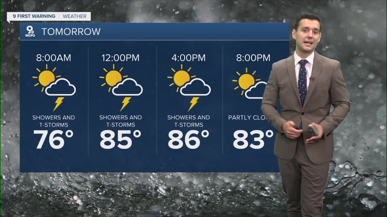
Remember: When thunder roars, go indoors because lightning is close enough to strike.
TONIGHT
Few clouds
Still muggy
Low: 74
SATURDAY
Few Storms
Still muggy
High: 89
SUNDAY
Iso Storms
Still muggy
High: 90
9 First Warning Weather 24/7 Livestream
==========
- Interactive Radar: Track weather to your doorstep
- Sign up for severe weather email alerts
- Check latest school closings and delays
- WCPO traffic updates
- Metro bus detours and updates (or call the hotline at 513-632-7538)
- Latest power outages from Duke Energy
- Flight cancellations and delays from CVG, other U.S. airports
