


Another beautiful day on Tuesday, with highs staying comfortably in the mid-to-upper 70s around here. The clear skies continue for the morning as temperatures will slide the low 50s by daybreak.
Wednesday brings the first day of seasonal weather in some time, as afternoon highs reach the low 80s by 4 pm, and we'll continue with plenty of sunshine. Shifting winds will play a part in the forecast for the rest of the week.
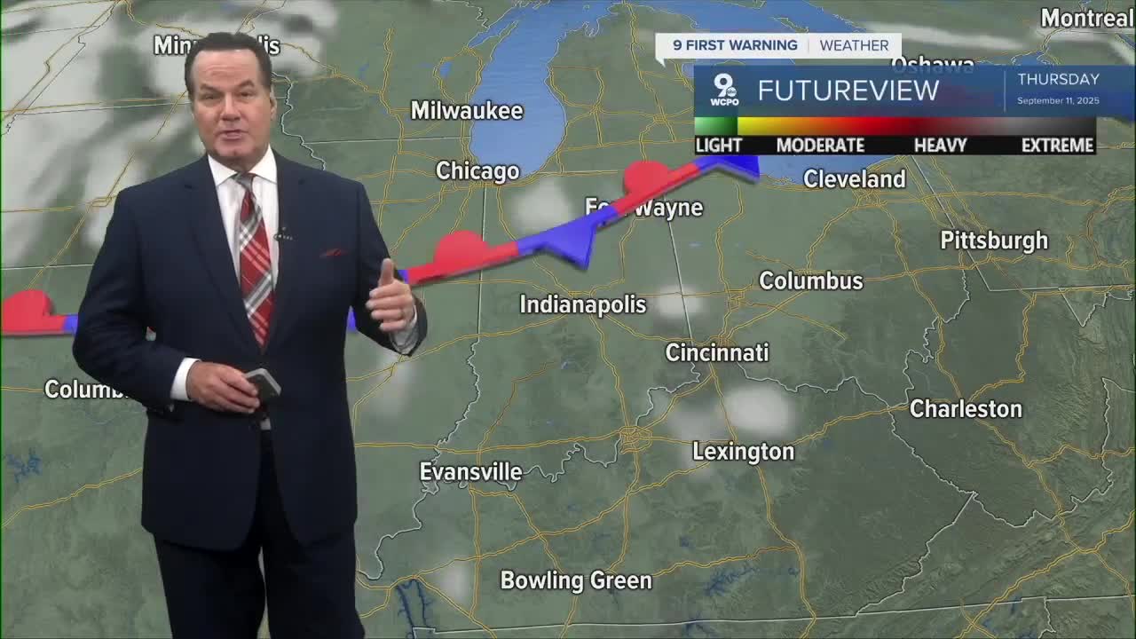
By Thursday and into the weekend, southerly winds will kick the temperatures into the mid to upper 80s by Sunday. It's going to be on the hot side for the Bengals' home opener.
We will also continue with dry weather as we only have a couple of "slight" chances to see any wet weather through the next 9 days. In the extended outlook, temperatures will remain seasonal in the low to mid 80s into next week.

OVERNIGHT
Mostly clear
Calm wind
Low: 53
WEDNESDAY
Mostly sunny
Warmer
High: 81
WEDNESDAY NIGHT
Mostly clear
Mild
Low: 56
9 First Warning Weather 24/7 Livestream
==========
- Interactive Radar: Track weather to your doorstep
- Sign up for severe weather email alerts
- Check latest school closings and delays
- WCPO traffic updates
- Metro bus detours and updates (or call the hotline at 513-632-7538)
- Latest power outages from Duke Energy
- Flight cancellations and delays from CVG, other U.S. airports
