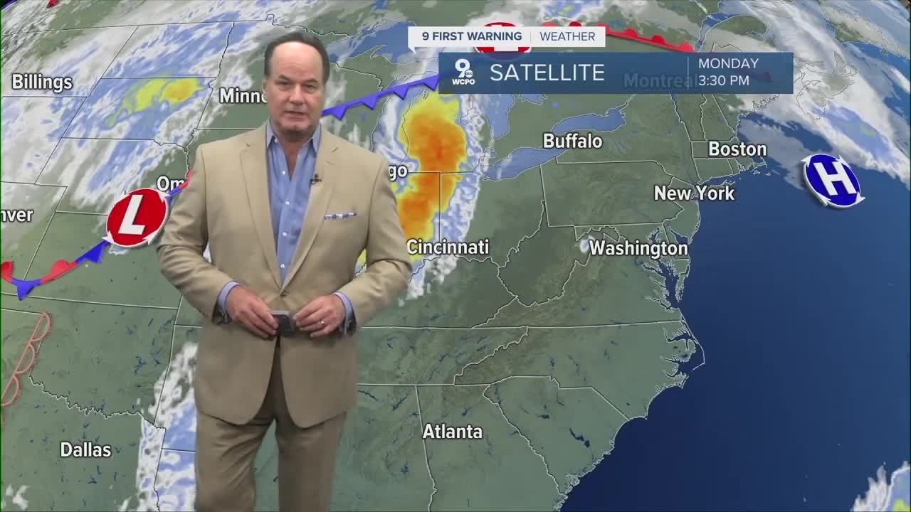


Overnight, expect a few scattered leftover storms and otherwise mostly cloudy skies around the Tri-State with temperatures falling into the upper 60s
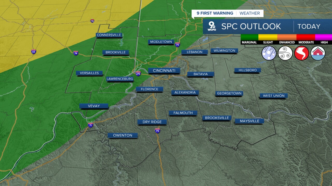
By Tuesday, the weather turns more active again as a cold front approaches the Tri-State, bringing chances for showers and thunderstorms through the day and into Tuesday night, with afternoon temperatures climbing into the upper 70s. The Storm Prediction Center has half the Tri-State in a “Slight Risk” for severe weather, as we will likely see a few strong storms. Our biggest threats would be damaging winds and larger hail, but all threats are possible.

Wednesday still looks somewhat unsettled, especially earlier in the day, before slightly cooler and drier air gradually works in behind the front, keeping highs mainly in the mid 70s.
Thursday appears to be one of the quieter days of the stretch with partly to mostly sunny skies and temperatures near 70 as weak high pressure temporarily builds into the region. That break does not last long, though, because another system develops late week into the holiday weekend.
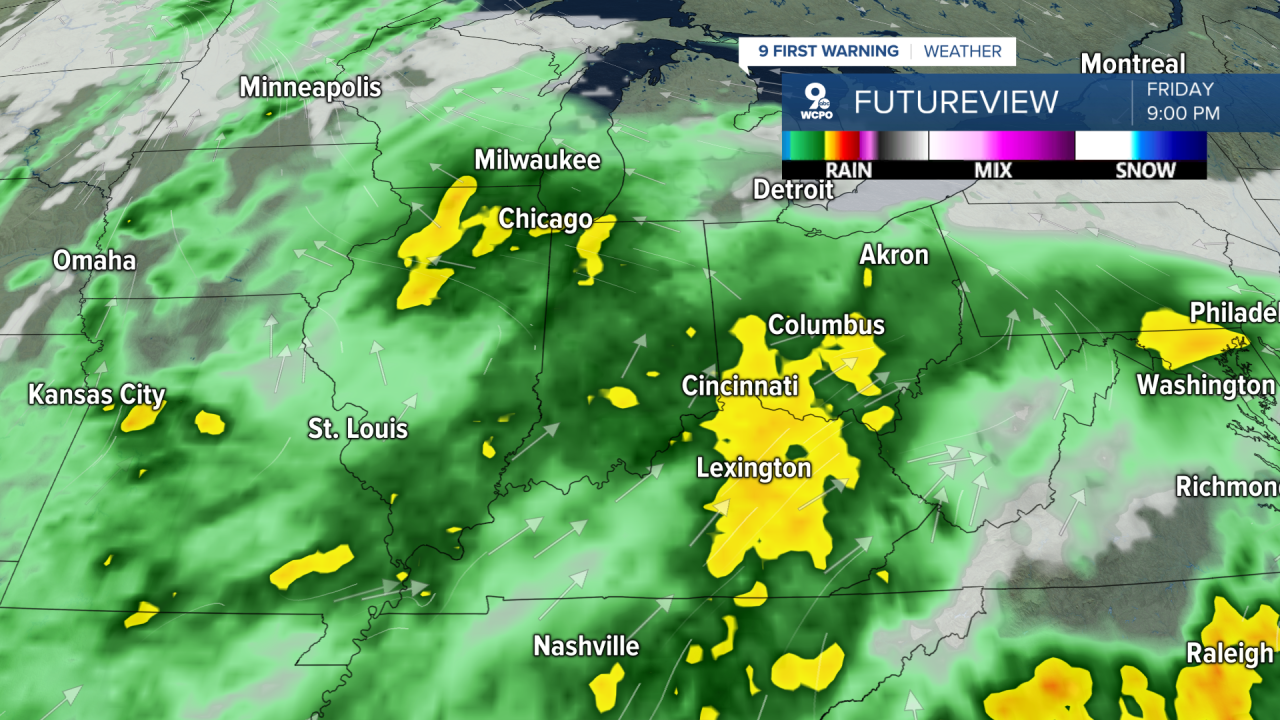
Rain and thunderstorm chances increase Friday again into Saturday as warmer and more humid air pushes north ahead of another frontal boundary, with temperatures returning to around the upper 70s to low 80s.
By Sunday and Memorial Day Monday, the forecast stays warm and somewhat unsettled with additional chances for showers and thunderstorms. Overall, we have an unsettled weather pattern continuing through the weekend as multiple disturbances move through the Tri-State, so it’s important to check back for changes.
OVERNIGHT
Scattered storms ending
Mostly cloudy, very warm
Low: 69
TUESDAY
Partly to mostly cloudy, humid
Scattered strong storms develop
Chance severe
High: 86
TUESDAY NIGHT
Strong Storms
Severe risk continues
Low: 65
9 First Warning Weather 24/7 Livestream
==========
- Interactive Radar: Track weather to your doorstep
- Sign up for severe weather email alerts
- Check latest school closings and delays
- WCPO traffic updates
- Metro bus detours and updates (or call the hotline at 513-632-7538)
- Latest power outages from Duke Energy
- Flight cancellations and delays from CVG, other U.S. airports
