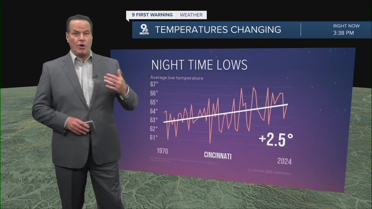


Another warm, muggy, and clear start for our Wednesday. Morning lows will once again start in the low to mid-70s. And yes, the heatwave continues, but there's a new wrinkle.

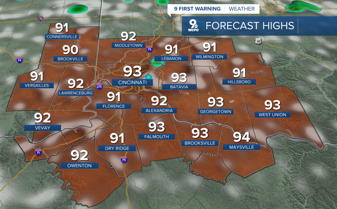
Stifling heat will heat during the afternoon as heat indices return to 100°-105° range. Then, as we head to mid-afternoon, showers and storms will spring up for a few isolated communities. Temperatures will again move into the low 90s, helping the instability grow that produces this wet weather.
This same forecast will repeat through the end of the week when a more substantial rainmaker hits the Tri-State.
Starting late Saturday and continuing into Sunday, we'll see a heatwave breaker bringing in widespread showers and milder air. Afternoon temps drop back to the low to mid-80s by next week.
TONIGHT
Mostly clear
humid
Low: 74
WEDNESDAY
Mostly sunny
Pop up afternoon showers & storms
High: 93
WEDNESDAY NIGHT
Fair skies
Very muggy
Low: 74
9 First Warning Weather 24/7 Livestream
==========
- Interactive Radar: Track weather to your doorstep
- Sign up for severe weather email alerts
- Check latest school closings and delays
- WCPO traffic updates
- Metro bus detours and updates (or call the hotline at 513-632-7538)
- Latest power outages from Duke Energy
- Flight cancellations and delays from CVG, other U.S. airports
