

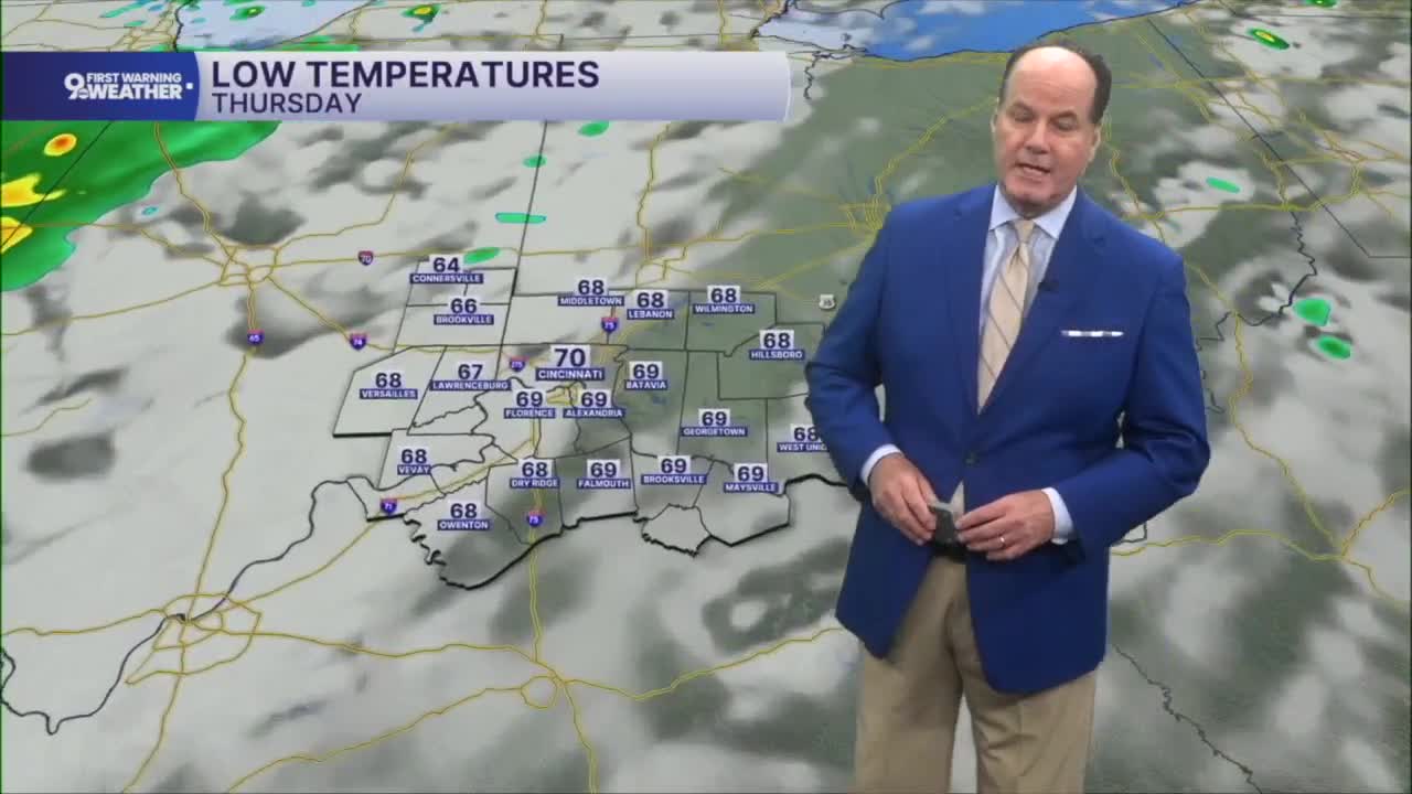


After a quiet night ahead, we’ll wake up Thursday to plenty of sunshine with temperatures starting near 70 degrees under warm, muggy conditions. Most of the day looks dry, but keep an eye on the sky in the afternoon. Not everyone will see rain, but if a storm develops where you are, expect brief downpours and lightning before activity fades.

Friday brings the most unsettled weather of the stretch. Clouds will be more common, and scattered showers are possible during the afternoon. But storms become more widespread by late night and into early Saturday. Heavy rainfall is likely, and we could experience minor flooding issues.

The pattern begins to improve into the weekend after early Saturday. Showers and a few thunderstorms remain possible into the afternoon, but rain chances gradually decrease through the evening as the weather system moves across the Tri-State. By Saturday night, skies turn partly cloudy with dry conditions returning.
Sunday looks like the pick of the weekend, featuring mostly sunny skies and afternoon temperatures back in the upper 80s. Yet, it will be hot and sticky before hotter and wetter days in next week
TONIGHT
Mostly clear
Humid
Low: 70
THURSDAY
Mostly sunny
Isolated storms
High: 88
THURSDAY NIGHT
Partly cloudy
Humid
Low: 71
9 First Warning Weather 24/7 Livestream
==========
- Interactive Radar: Track weather to your doorstep
- Sign up for severe weather email alerts
- Check latest school closings and delays
- WCPO traffic updates
- Metro bus detours and updates (or call the hotline at 513-632-7538)
- Latest power outages from Duke Energy
- Flight cancellations and delays from CVG, other U.S. airports
