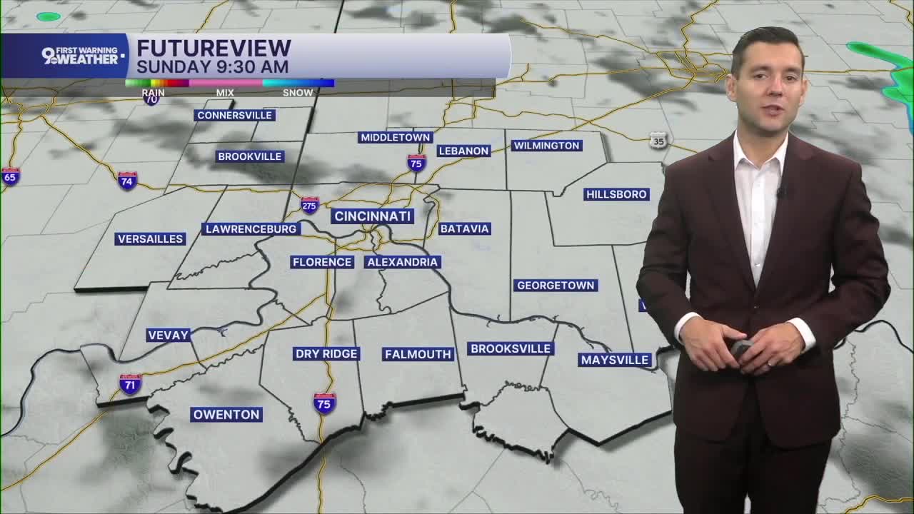


A few isolated showers are possible across the region throughout Sunday, but most of us will be dry all day. In fact, we'll get to enjoy some sunshine at times in the afternoon. It will also be humid and warmer with mid 80s.
We'll keep a small chance for rain in the forecast Monday, but like Sunday, most of us stay dry. The heat continues to build as Cincinnati climbs into the low 90s. When you factor in the humidity, it will feel like we're in the triple digits.
A ridge of high pressure strengthens over the eastern half of the country midweek, and this will push temperatures even higher. Tuesday, Wednesday, and Thursday afternoons will be in the mid 90s.

We only get a touch of relief into the 4th of July weekend. Friday and Saturday will be in the low 90s, and it will still be humid, keeping the heat index over 100.

With this long stretch of dangerous heat, make sure you are staying safe and taking it easy outside. Try to do any yard work or outdoor exercise in the early morning or late in the evening to avoid the worst of the afternoon heat. Check on your older friends, family members, and neighbors to make sure they are able to stay cool.
OVERNIGHT
Mostly cloudy
Scattered rain
Low: 68
SUNDAY
Partly cloudy
Isolated rain
High: 86
SUNDAY NIGHT
Partly cloudy
Humid
Low: 70
MONDAY
Partly cloudy
Isolated rain
High: 91
9 First Warning Weather 24/7 Livestream
==========
- Interactive Radar: Track weather to your doorstep
- Sign up for severe weather email alerts
- Check latest school closings and delays
- WCPO traffic updates
- Metro bus detours and updates (or call the hotline at 513-632-7538)
- Latest power outages from Duke Energy
- Flight cancellations and delays from CVG, other U.S. airports
