

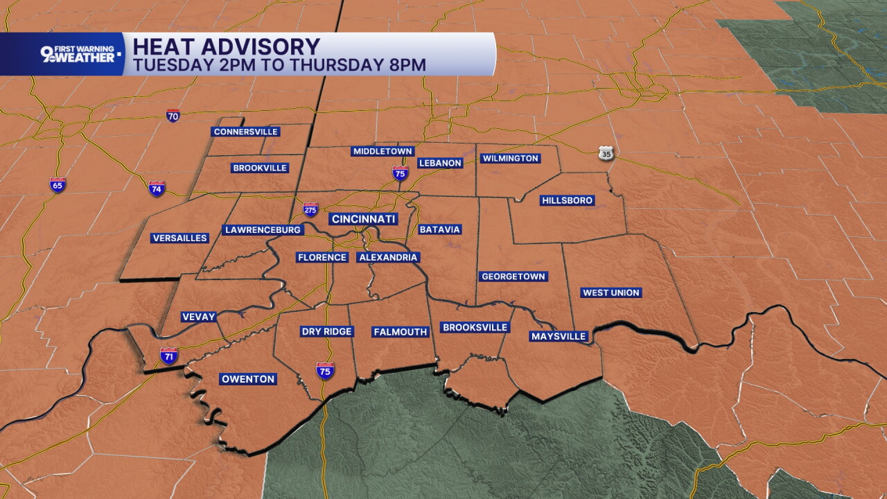


We are entering day 3 of the latest heatwave and it's going to be hot this afternoon. Temperatures are expected to rise even more as humidity rises as well.
The National Weather Service has issued a HEAT ADVISORY for the Tri-State starting Tuesday afternoon and it will continue through Thursday evening. In this timeframe, heat index values of 100 to 104 degrees are expected in the afternoon hours.
There isn't any rain in the forecast for the next 3 days either. Temperatures will start in the mid to low 70s each morning and warm to 95-96 degrees in the afternoon. The sky will be sunny and winds will come in lightly from the west. High pressure is still anchored to our southeast and it's going to stay there for days.
Eventually, small rain chances will start coming back to our area, but certainly not a guaranteed chance for rain. There will be a 30-40% chance for rain on Friday and Saturday as moisture comes along the top of our ridge of high pressure. The high on Friday still climbs to 90 degrees. Saturday will be around 87 for a high.
Sunday is a big day in the Tri-State as Riverfest takes over along the Ohio River ahead of the fireworks. Right now, Sunday's forecast looks dry, partly cloudy, and seasonal with a high of 84 degrees. By 9 p.m., temperatures will be in the upper 70s and the sky will be partly cloudy. As of right now, it looks like we are good to go, but we still need to keep an eye on the outlook in the event the rain from Friday and Saturday shifts a bit when it comes to timing.
MORNING RUSH
Clear sky
Warm
Low: 74
TUESDAY
Sunshine, hot
Feels like 100-104°
High: 95
TUESDAY NIGHT
Few clouds
Warm
Low: 73
WEDNESDAY
Sunny and hot
Feels like 100-104°
High: 96
WEDNESDAY NIGHT
Few clouds
Warm again
Low: 75
9 First Warning Weather 24/7 Livestream
==========
- Interactive Radar: Track weather to your doorstep
- Sign up for severe weather email alerts
- Check latest school closings and delays
- WCPO traffic updates
- Metro bus detours and updates (or call the hotline at 513-632-7538)
- Latest power outages from Duke Energy
- Flight cancellations and delays from CVG, other U.S. airports
