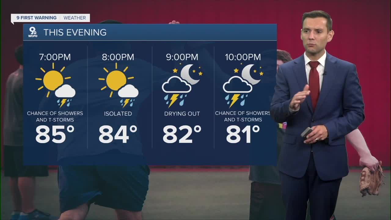


Overnight we dip down to the mid 70s and remain muggy. We will also have a few downpours possible with some rumbles of thunder.
More storm chances on our Sunday as we once agian hit the 90s and feel like 100. Best chance for storms is later in the afternoon/evening.
We’ll stay hot through Wednesday at least with highs in the low/mid 90s. However, by midweek, a cold front will bring more scattered storms. And finally, a pattern shift and some much-needed relief from the oppressive heat and humidity.
TONIGHT
Partly cloudy
Very mild
Low: 74
TOMORROW
Partly cloudy
Afternoon storms
High: 92
SUNDAY NIGHT
Partly cloudy
Patchy fog
Low: 75
9 First Warning Weather 24/7 Livestream
==========
- Interactive Radar: Track weather to your doorstep
- Sign up for severe weather email alerts
- Check latest school closings and delays
- WCPO traffic updates
- Metro bus detours and updates (or call the hotline at 513-632-7538)
- Latest power outages from Duke Energy
- Flight cancellations and delays from CVG, other U.S. airports
