


Expect a very similar day Friday, as the last few days.
The National Weather Service still has us under a Heat Advisory until 8pm Friday.
And just like Wednesday and Thursday afternoon, we'll see isolated storms develop and continue through sunset.

The weekend is a bit different. The storm chance increases a bit on Saturday. A cold front will be approaching our area from the north but not fully moving through. It does aid in fueling more storms, but it doesn't break the heat just yet. Saturday tops out around 90 again.
The storm chance is low on Sunday. Most of the day should be partly cloudy, and the high ends up around 90. Storm chances are at 20% or less.
TONIGHT
Mostly clear
Muggy again
Low: 73
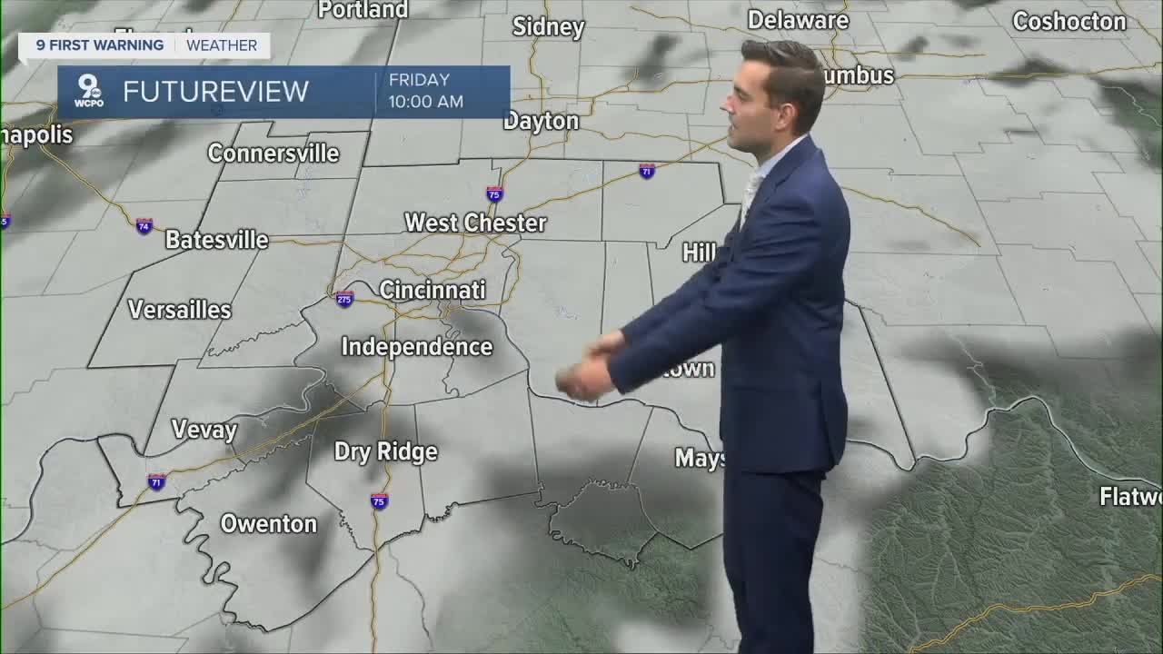
FRIDAY
Mostly sunny, hot and humid
Pop up storms
High: 92
FRIDAY NIGHT
Few clouds
Still muggy
Low: 74
==========
- Interactive Radar: Track weather to your doorstep
- Sign up for severe weather email alerts
- Check latest school closings and delays
- WCPO traffic updates
- Metro bus detours and updates (or call the hotline at 513-632-7538)
- Latest power outages from Duke Energy
- Flight cancellations and delays from CVG, other U.S. airports
