



The weather has become mostly clear and warm, with temperatures only settling into the low to mid 70s and winds becoming calm. Saturday brings the biggest weather change of the weekend. We could see scattered storms across the Tri-State by 6am.
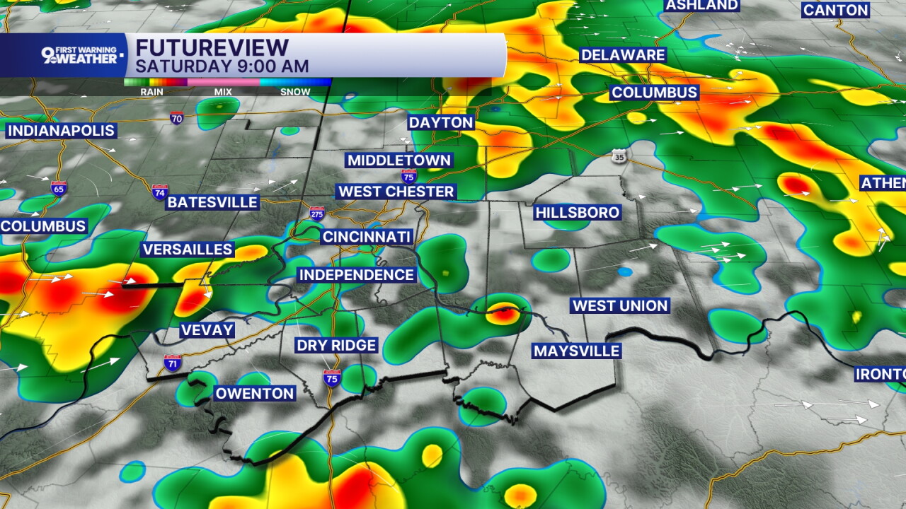
The strong ridge of high pressure that has been responsible for the heat is getting pushed farther west as a disturbance and stronger northwest flow move in from Canada. Showers and thunderstorms become possible again later in the afternoon. The atmosphere will contain enough heat and moisture for some storms to produce locally heavy rain, and repeated storms could create isolated flooding problems.
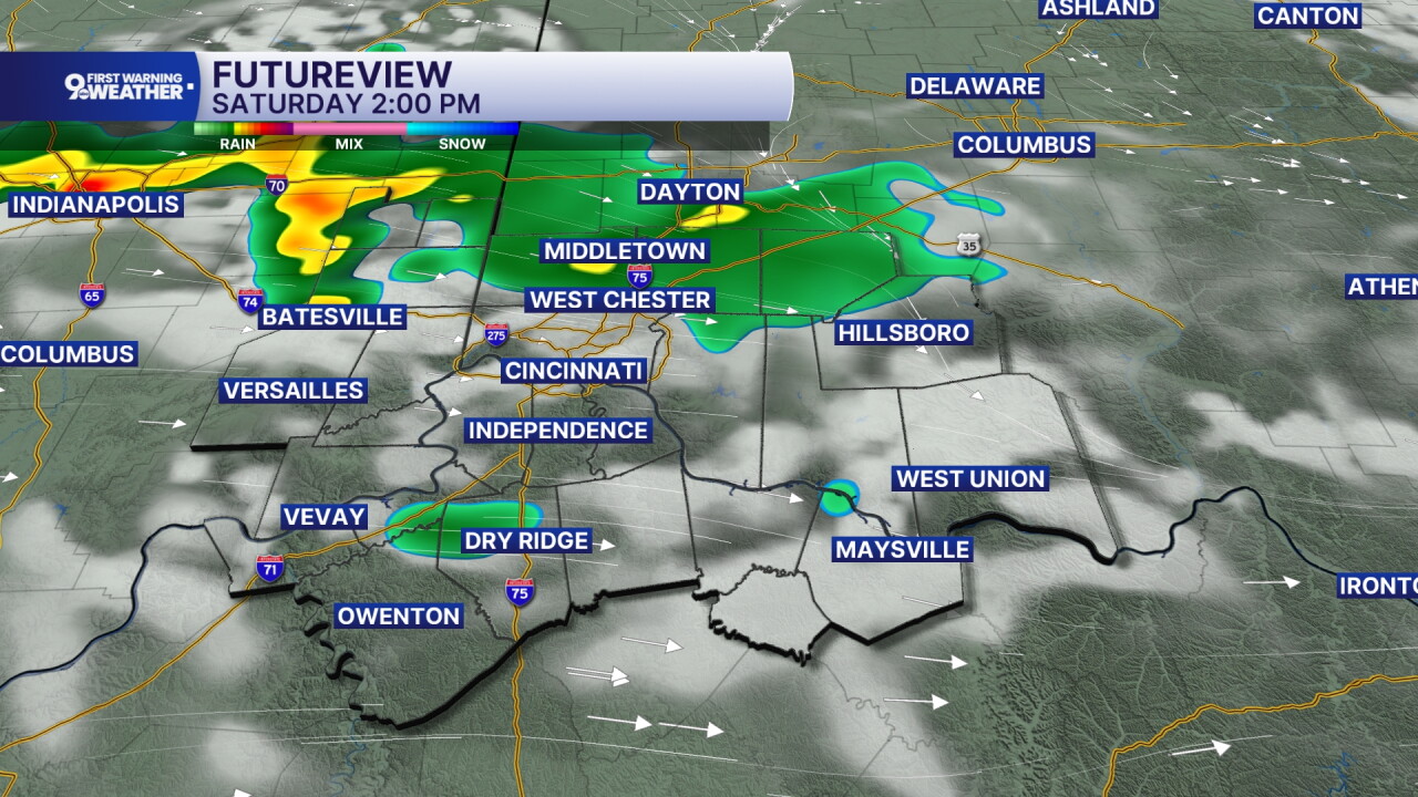
By Saturday night, drier air begins working south into the region as winds turn northeast, helping temperatures fall into the upper 60s. That change becomes much more noticeable Sunday, with sunshine, lower humidity, and highs only in the low 80s as cooler air continues filtering in from the north. Sunday night turns mostly clear and pleasantly cool, with lows in the low 60s.
Labor Day looks quiet and sunny, with temperatures recovering into the mid 80s. The warming trend continues Tuesday as sunshine mixes with some clouds and highs climb into the upper 80s. By Wednesday, the heat builds again, with plenty of sunshine and afternoon temperatures returning to the low 90s.
OVERNIGHT
Few storms by daybreak
Otherwise partly cloudy
Low: 73
SATURDAY
Partly cloudy
Storms possible
High: 90
SATURDAY NIGHT
Storms fade
Partly cloudy
Low: 67
SUNDAY
Partly cloudy
Not as hot, lower humidity
High: 67
9 First Warning Weather 24/7 Livestream
==========
- Interactive Radar: Track weather to your doorstep
- Sign up for severe weather email alerts
- Check latest school closings and delays
- WCPO traffic updates
- Metro bus detours and updates (or call the hotline at 513-632-7538)
- Latest power outages from Duke Energy
- Flight cancellations and delays from CVG, other U.S. airports
