


Several more hot and muggy days before temperatures and humidity levels drop!
But first, a heat advisory in effect until Wednesday in anticipation of heat index values reaching 100 to 105.
Partly cloudy and very mild temperatures overnight with lows near 76.
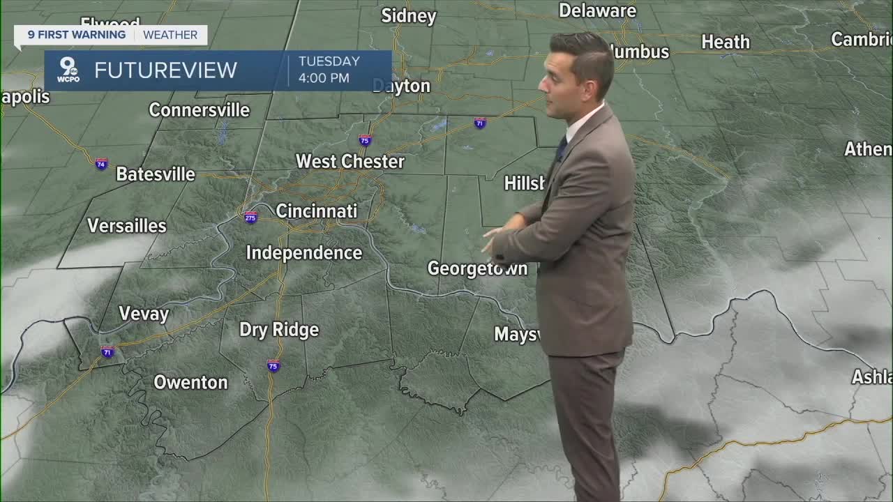
Hot and mainly dry Tuesday with highs near 94 under partly cloudy skies. The heat index rises to 100 to 105 degrees.
While more storms are likely Wednesday and Thursday along the cold front, the trade off is a significant cool down. Expect showers and storms to wind down by Thursday evening, leaving us with cooler temperatures as we head into the weekend.
Friday will be mostly sunny and pleasant. The morning starts out in the mid to low 60s, and we’ll only warm to 80 degrees. It’s going to be amazing!

TONIGHT
Partly cloudy
Very muggy/patchy fog
Low: 76
TUESDAY
Partly cloudy
Hot and very humid
High: 94
TUESDAY NIGHT
Partly cloudy
Still very muggy
Low: 73
9 First Warning Weather 24/7 Livestream
==========
- Interactive Radar: Track weather to your doorstep
- Sign up for severe weather email alerts
- Check latest school closings and delays
- WCPO traffic updates
- Metro bus detours and updates (or call the hotline at 513-632-7538)
- Latest power outages from Duke Energy
- Flight cancellations and delays from CVG, other U.S. airports
