




A cold front has arrived, and the humidity will tumble overnight!
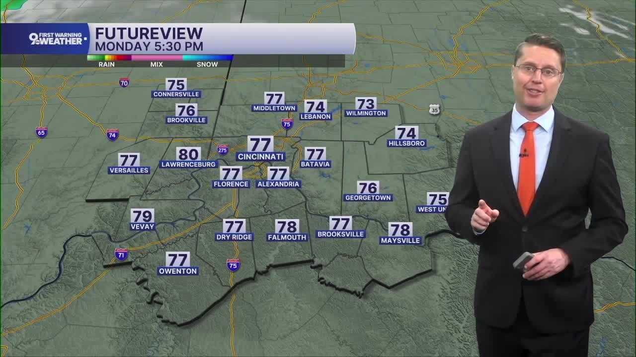
Monday starts with open-window weather as we cool off into the upper 50s in Cincinnati. The afternoon will be mostly sunny and cooler with low humidity. Highs will be in the upper 70s!
A warm front arrives into Tuesday morning, which brings the heat and humidity back quickly! After a nice start to the day in the low 60s, temperatures surge near 90 in the afternoon with a mix of sun and clouds. As a cold front slowly drops south towards the Tri-State Tuesday night, a few scattered storms could clip northern parts of the Tri-State.

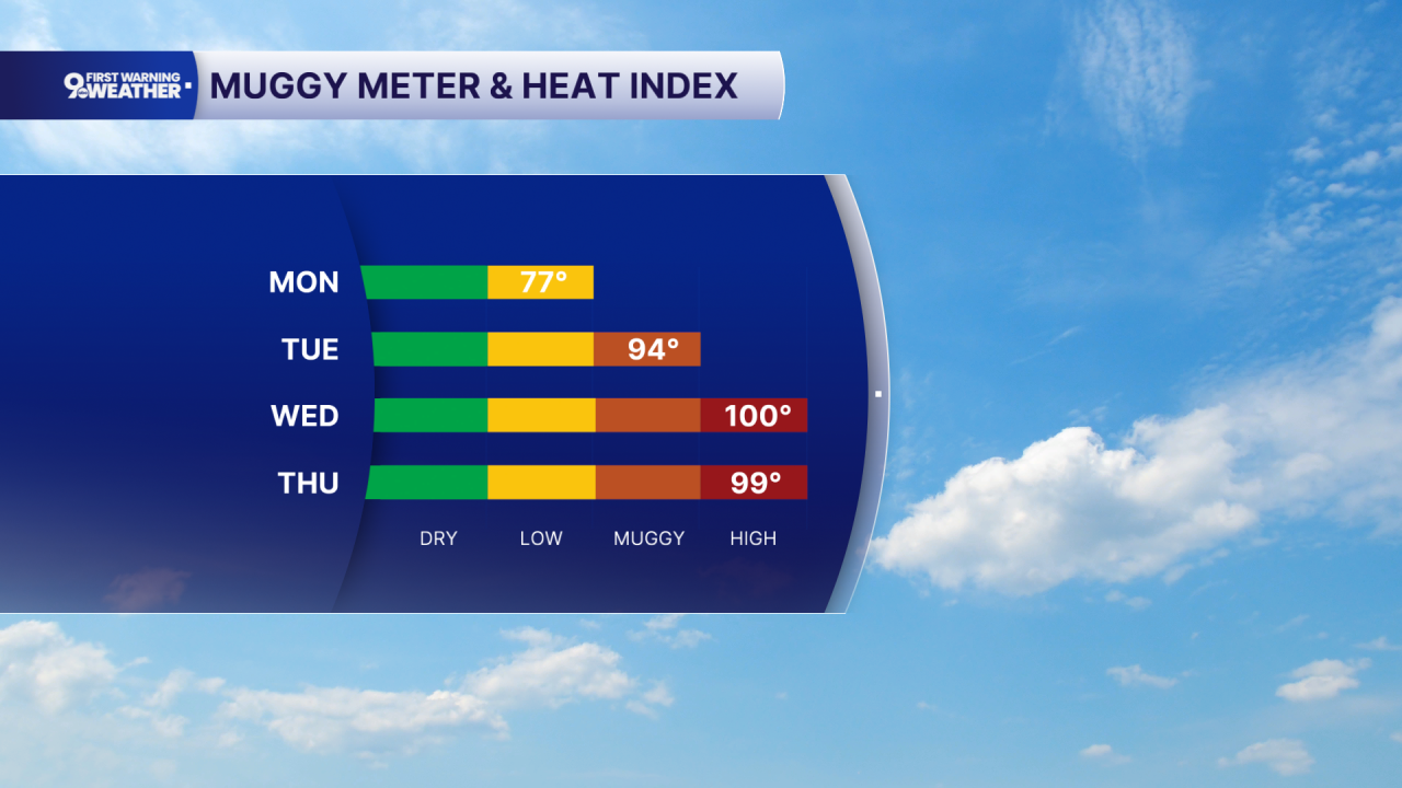
The cold front stays just to our north Wednesday and Thursday, letting the low 90s continue. With the humidity even higher these two days, the heat index will be near 100 in the afternoons.
The cold front finally pushes south into the Tri-State into Friday, keeping a few scattered showers and storms in the region. It also drops us down into the mid 80s for Friday and Saturday.
Rain chances continue through the weekend and into early next week, but temperatures will continue to slowly get cooler each day.
OVERNIGHT
Partly cloudy
Comfy
Low: 59
MONDAY
Mostly sunny
Low humidity
High: 77
MONDAY NIGHT
Mostly clear
Comfy
Low: 61
TUESDAY
Partly cloudy
Getting humid
High: 90
