


As we kick off the work week tomorrow rain chances will be possible. While rain won't be heavy or widespread on our Monday, we could have a few spitting showers.
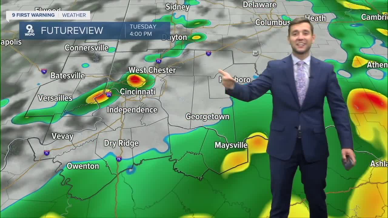
Overnight into Tuesday is when the rain really ramps up and gives most of us a nice soaking. Some models showing totals from a half an inch to two iches. Highest totals look to be south of the river.

Some rain may linger into Tuesday night, but once the front moves through early Wednesday, cooler air filters in. Afternoon highs will only reach the 70s, which is much closer to normal and finally gives us that true fall feeling.
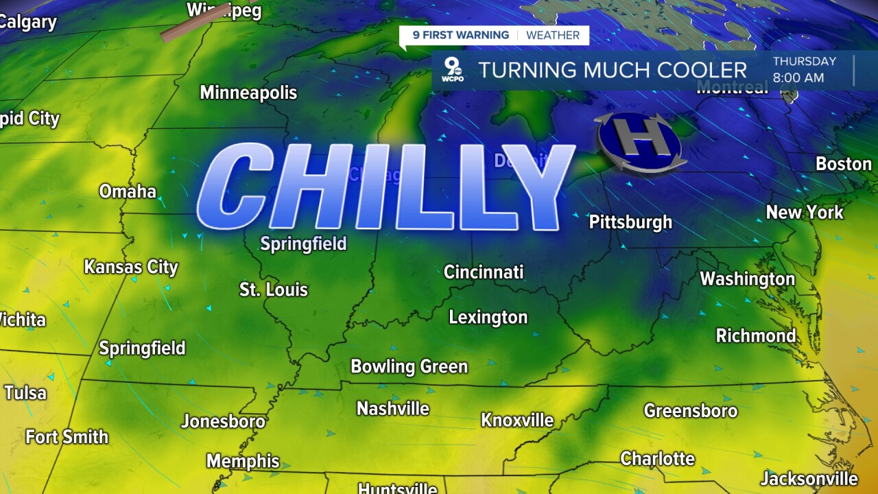
By late week, it will really start to feel like October. Morning lows are expected to dip into the 40s for several nights, so it may be time to pull the sweaters and jackets out of the closet. Crisp mornings and comfortable afternoons will take over as fall settles in for good.
TONIGHT
Mostly clear
Comfy
Low: 58
MONDAY
Isolated shower/storm
Still warm
High: 83
MONDAY NIGHT
Mostly Cloudy
Shower
Low: 60
9 First Warning Weather 24/7 Livestream
==========
- Interactive Radar: Track weather to your doorstep
- Sign up for severe weather email alerts
- Check latest school closings and delays
- WCPO traffic updates
- Metro bus detours and updates (or call the hotline at 513-632-7538)
- Latest power outages from Duke Energy
- Flight cancellations and delays from CVG, other U.S. airports
