


The weather was amazing to end the workweek, and that nice weather continues into the weekend!
Overnight, we stay mostly clear and mild, only dropping down to about 40 degrees for Saturday morning.
Saturday afternoon will be mostly sunny with highs in the low 60s across the Tri-State for a second day in a row.
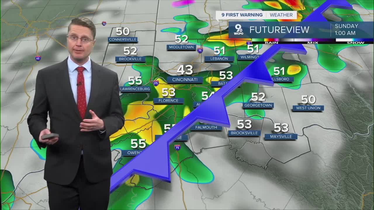
Saturday night, scattered showers start to move into the region ahead of our next cold front. Rain will be more likely overnight as the cold front passes through, but the rain won't be for everyone.
Temperatures tumble as colder air blows in behind the cold front Sunday. We start the day in the mid 30s and only warm up into the low 40s with mostly cloudy skies in the afternoon.
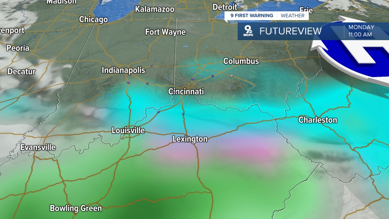
Our next weather system arrives overnight Sunday into Monday morning with a wintry mix of rain and snow. Everything likely starts as snow, but there may not be much of it. Minor accumulation are possible. While it wouldn't be much, the timing just ahead of the morning commute could make for a few slippery spots for your drive into work and school. As we warm up later in the morning, a switch to light rain is expected.
Monday afternoon looks a lot drier, but we stay cold, with upper 30s.
A warm front arrives Tuesday, increasing temperatures and increasing our chance for rain. Scattered showers look likely as the front arrives during the day. Highs will be near 50.

As the warm front pushes farther north, temperatures continue to climb. Wednesday will be in the upper 50s, followed by 60s the rest of the workweek. But as more systems push through the area, we could see another round of rain just about each day or night.
OVERNIGHT
Mostly clear
Mild
Low: 40
SATURDAY
Mostly sunny
Very nice!
High: 61
SATURDAY NIGHT
Mostly cloudy
Scattered showers
Low: 34
SUNDAY
Mostly cloudy
Colder
High: 41
9 First Warning Weather 24/7 Livestream
==========
- Interactive Radar: Track weather to your doorstep
- Sign up for severe weather email alerts
- Check latest school closings and delays
- WCPO traffic updates
- Metro bus detours and updates (or call the hotline at 513-632-7538)
- Latest power outages from Duke Energy
- Flight cancellations and delays from CVG, other U.S. airports
