



The sky will be mostly sunny again today and temperatures are turning a little bit cooler. We hit 77 degrees on Thursday, making it the warmest day of the week. Today we'll see highs in the low 70s. Winds have shifted to the east, allowing cooler air to filter into our region.
The evening forecast will be fantastic! Temperatures cool to 68 by sunset. Overnight, we'll drop to 50 degrees under a partly cloudy sky.
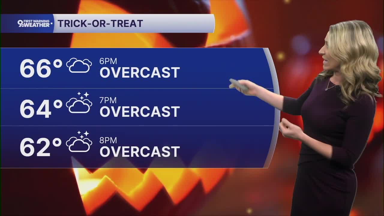
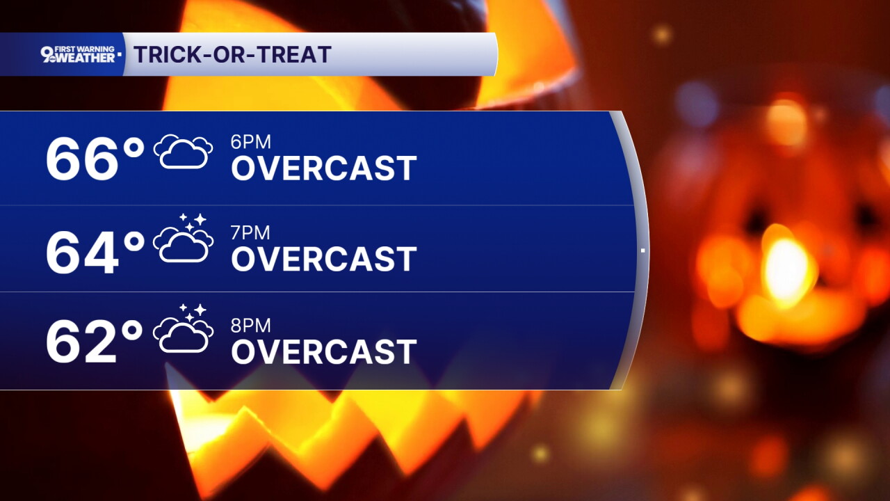
Moisture is trying to build back into our area but it's going to be a slow process to get rain back into the forecast. Saturday's sky turns overcast as this moisture builds. We'll see temperatures in the upper 60s. And it will be dry, cloudy and comfortable for Trick-or-Treat hours tomorrow. At 6 p.m. temperatures will be around 66 degrees.
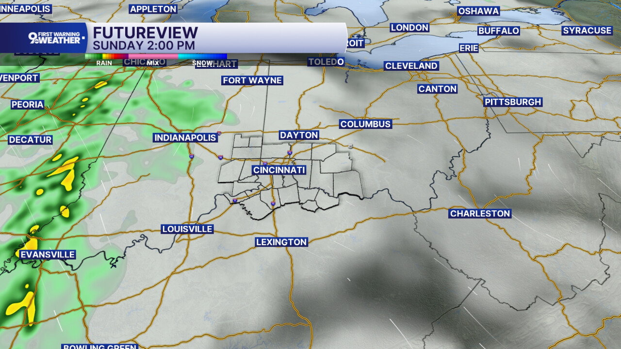
Sunday will definitely be a cloudy day. The element we've been watching all week has been the rain potential. It still looks like there's a small rain chance, around 30% or less. But this certainly isn't a washout type of day. It's very possible that we don't see any rain until later Sunday night and into Monday morning.
Temperatures stay mild to start the next week but by the end of the week, highs will be back to seasonal levels in the upper 50s!
MORNING RUSH
Clear sky
Cool
Low: 50
FRIDAY
Mostly sunny
Dry and not as warm
High: 72
FRIDAY NIGHT
Partly cloudy
Mild
Low: 53
SATURDAY
Mostly cloudy
To Overcast
High: 68
SATURDAY NIGHT
Overcast
Mild
Low: 53
SUNDAY
Overcast
Isolated showers
High: 68
9 First Warning Weather 24/7 Livestream
==========
- Interactive Radar: Track weather to your doorstep
- Sign up for severe weather email alerts
- Check latest school closings and delays
- WCPO traffic updates
- Metro bus detours and updates (or call the hotline at 513-632-7538)
- Latest power outages from Duke Energy
- Flight cancellations and delays from CVG, other U.S. airports
