


After more than two weeks without meaningful rain, the pattern is finally shifting. Starting today, rain chances will be back in the forecast almost every day this week.
Around 2pm a storm moved through the eastern half of the Tri-State and dropped .5" to an inch of rain for a handful of communities. While not everyone got the rain today, that will change during the work week.
Monday brings another round of showers and storms, some of which could be strong. Afternoon highs will reach around 80, but that’s just the start of a cooling trend. We will once again be under a marginal risk for severe weather. Same as Sunday.
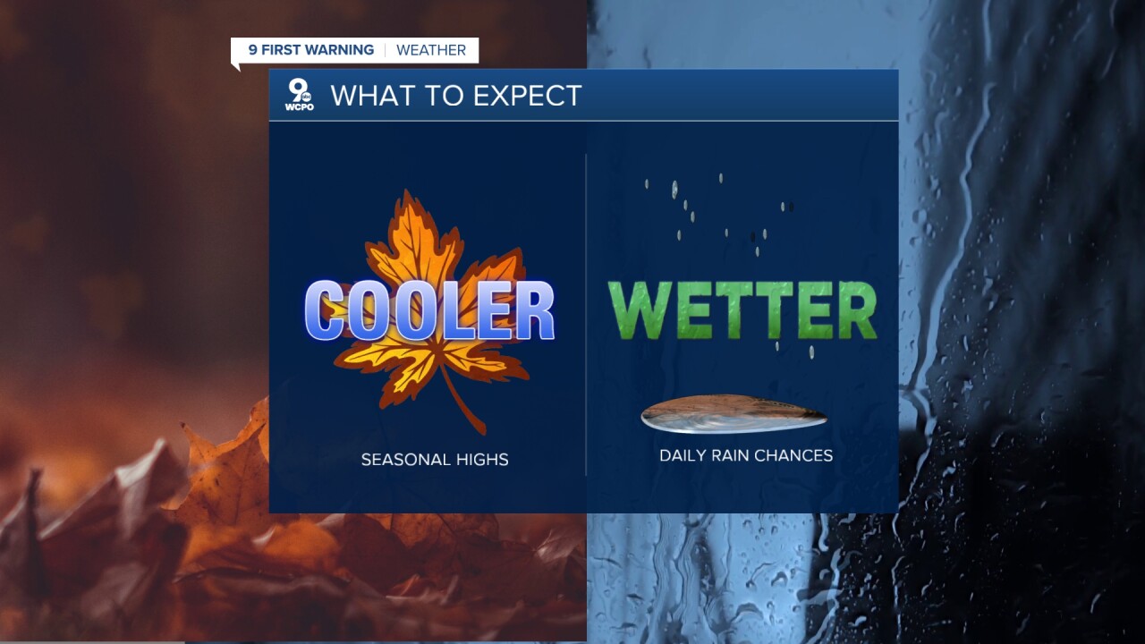
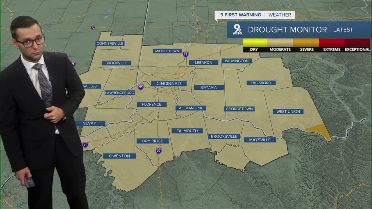
By midweek, temperatures will settle into the upper 70s… fitting for the autumnal equinox as the season transitions to fall. Scattered showers are possible Tuesday, Wednesday, and Thursday, helping to break the long stretch of above-average temperatures. These repeated rain chances could also help chip away at the moderate drought currently impacting the region.
TONIGHT
Mostly cloudy
Slight rain/storm chance
Low: 65
MONDAY
Mostly cloudy
Numerous showers
High: 79
MONDAY NIGHT
Mostly cloudy
Isolated rain/storm
Low: 63
9 First Warning Weather 24/7 Livestream
==========
- Interactive Radar: Track weather to your doorstep
- Sign up for severe weather email alerts
- Check latest school closings and delays
- WCPO traffic updates
- Metro bus detours and updates (or call the hotline at 513-632-7538)
- Latest power outages from Duke Energy
- Flight cancellations and delays from CVG, other U.S. airports
