


It will be on the chilly side tonight with temps dipping to around 40° for some. We could also be dealing with some patchy fog in the morning.
Clouds will slowly start to increase during the day as the high increases to 70 degrees. Temperatures for Friday night football games will be in the mid to low 60s.
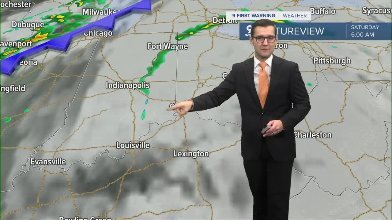
The story for the weekend is the cold front coming our way and what time this rain should start. High-resolution models are starting to come in, and that's helping bring a few items into focus for us.
First of all, a few showers on Saturday morning cannot be ruled out. This would be isolated and limited to the very early morning hours. But most of Saturday will be partly cloudy to mostly cloudy and dry. Temperatures increase to the upper 70s thanks to a steady southwest wind.

Most of the global weather models are still pointing at rain arriving after midnight on Saturday night, but it's still not out of the question that we could see a few showers arriving in the evening hours. But most of our rain will be focused in the overnight hours.
Showers continue on Sunday with falling temperatures and windy conditions.

TONIGHT
Few clouds
Cool
Low: 45
FRIDAY
Clouds increase
Mild
High: 70
FRIDAY NIGHT
Partly cloudy
Slight rain chance
Low: 52
9 First Warning Weather 24/7 Livestream
- Interactive Radar: Track weather to your doorstep
- Sign up for severe weather email alerts
- Check latest school closings and delays
- WCPO traffic updates
- Metro bus detours and updates (or call the hotline at 513-632-7538)
- Latest power outages from Duke Energy
- Flight cancellations and delays from CVG, other U.S. airports
