


Cold air sticks around as we kick off meteorological winter on Monday. Winds will relax into Monday, and much of the day stays dry, but you’ll notice mostly cloudy skies because another chance for accumulating snow moves in Monday night.
Into the evening hours some wintry mix will be possibe. The switch over to snow will come around midnight.

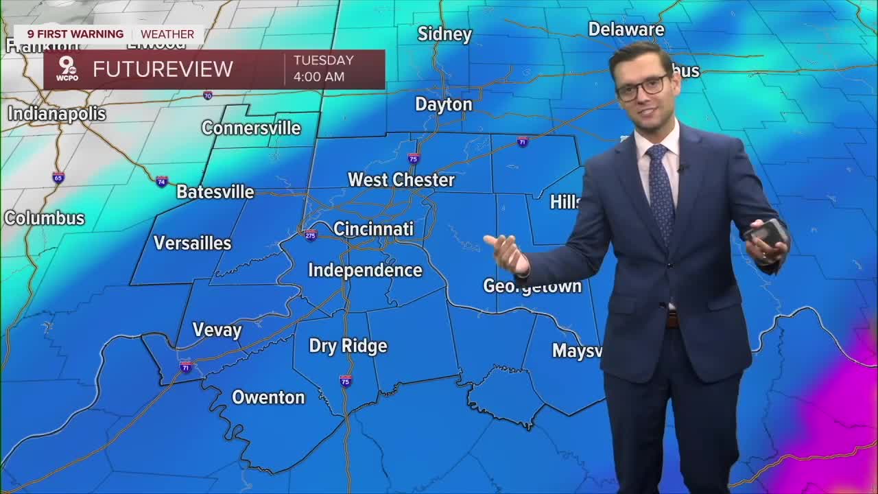
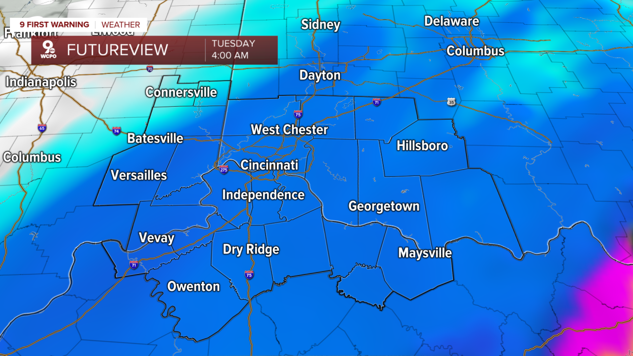
Then the widespread heavy snow will take over before most of us wake up.
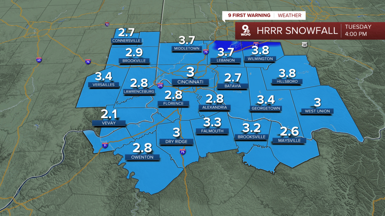
Models are still wavering on snow totals but below is a good middle ground that we've seen to find. Keep in mind, some models indicate we could see 5-6 inches for some areas overnight.
The rest of the week is expected to remain cold. Expect highs to stay in the 30s each afternoon and overnight lows to rest in the 20s.
TONIGHT
Dry
Colder
Low: 25
MONDAY
Mostly cloudy
Very cold
Highs: 34
MONDAY NIGHT
Snow arrives late
Accumulations
Low: 26
9 First Warning Weather 24/7 Livestream
==========
- Interactive Radar: Track weather to your doorstep
- Sign up for severe weather email alerts
- Check latest school closings and delays
- WCPO traffic updates
- Metro bus detours and updates (or call the hotline at 513-632-7538)
- Latest power outages from Duke Energy
- Flight cancellations and delays from CVG, other U.S. airports
