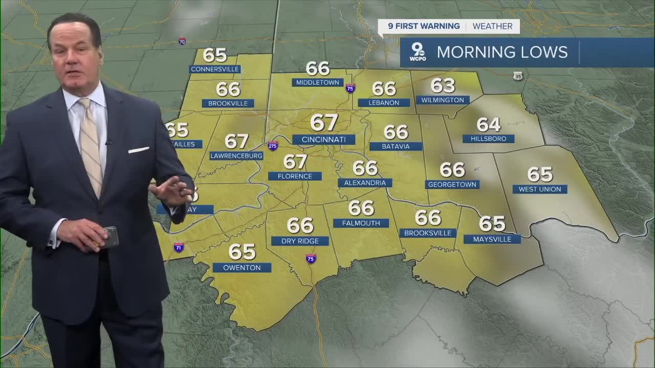


Now that the rain and storm are done, the sky will be mostly clear overnight as we drop to 67 degrees. We could see some patchy fog near daybreak.
Thursday is looking like a typical August day. While there is a slight chance for a shower or storm, mainly it's going to stay dry. Dew points are still in the upper 60s, so it will feel a bit sticky outside. Yet, it won't be overwhelming.
We will continue with a relatively dry forecast for much of the extended outlook, but there we'll see a 20% chance of rain right into the weekend. Temperatures are rising and will hit 90 degrees by Saturday. It'll be a mini-heatwave for us as afternoon temps will be at or slightly above 90 through Monday. This weekend looks to provide a bit better chance for afternoon rain or storms with the increased heat.
OVERNIGHT
Mostly clear
patchy fog
Low: 67
THURSDAY
Mostly sunny
Slight chance
High: 86
THURSDAY NIGHT
Few clouds
Warm
Low: 67
9 First Warning Weather 24/7 Livestream
==========
- Interactive Radar: Track weather to your doorstep
- Sign up for severe weather email alerts
- Check latest school closings and delays
- WCPO traffic updates
- Metro bus detours and updates (or call the hotline at 513-632-7538)
- Latest power outages from Duke Energy
- Flight cancellations and delays from CVG, other U.S. airports
