


We dropped below freezing Saturday evening, and Cincinnati will stay below freezing for more than a 90 hour stretch!
Overnight, we will drop down into the teens for your Sunday morning with single digit wind chills. Even with some good sunshine at times Sunday afternoon, we will only warm into the mid 20s. Wind chills only make it into the upper teens in the afternoon.

Sunday night, a few spotty pockets of snow could clip the Tri-State, but many of us will stay dry. Any accumulation would be minor.
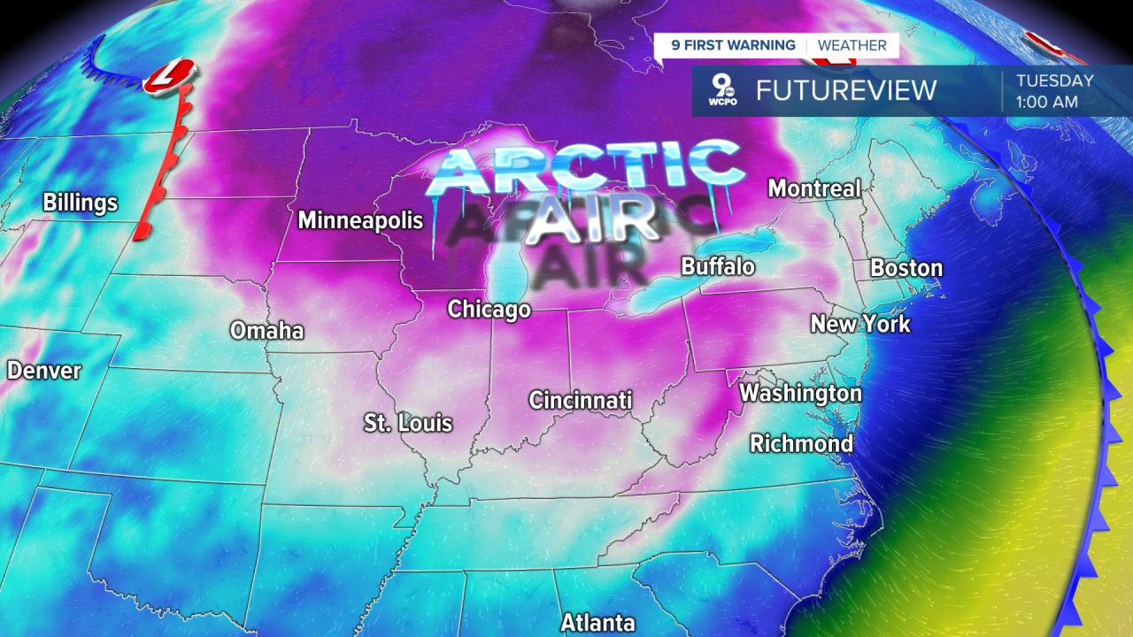
Monday will be even colder with low 20s and a mix of sun and clouds.
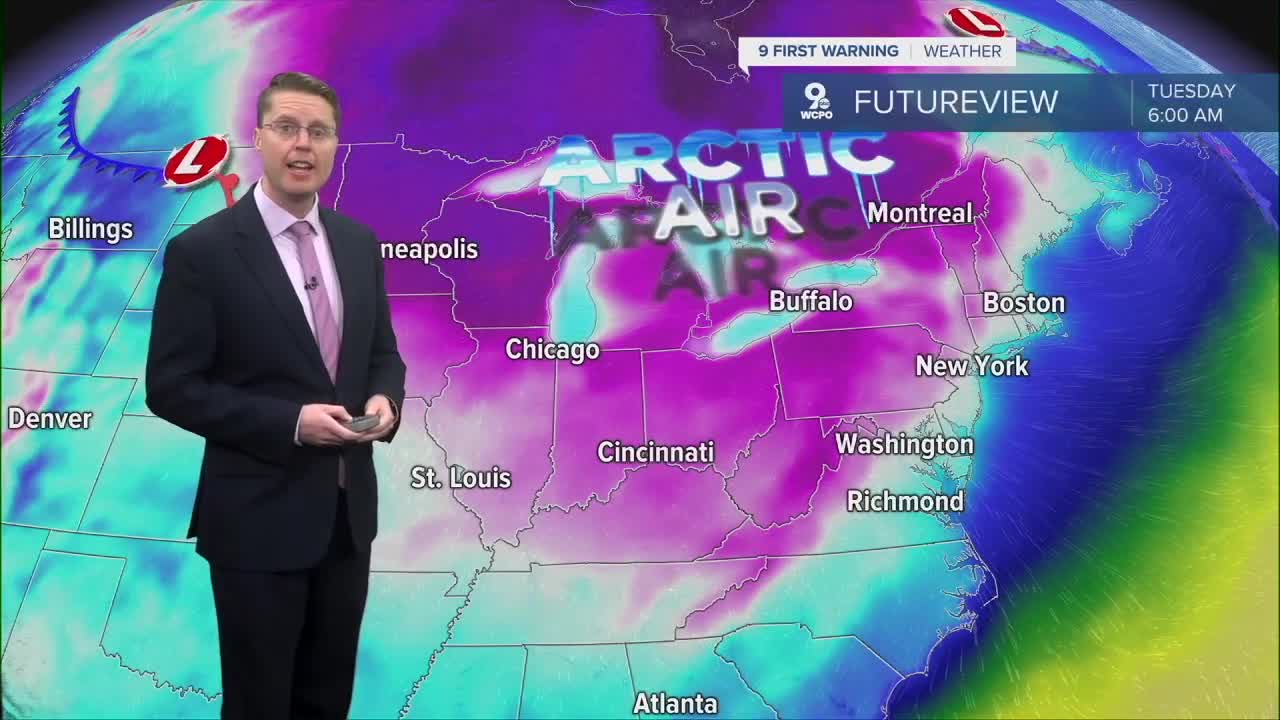
After starting in the single digits, we will be in the mid 20s Tuesday afternoon with a lot of sunshine.
Warmer air will start to blow in from the south Wednesday, helping to get temperatures above freezing and back to average, in the upper 30s.
We stay in the 30s Thursday and Friday.
Late Friday night and into Saturday morning, we have a better chance of seeing snow across the Tri-State, but there is still a lot of uncertainty with how long it stays and how much we could see stick to the ground. We'll keep you updated as confidence grows!
Highs will be near 30 both weekend afternoons.
OVERNIGHT
Partly cloudy
Spotty snow early
Low: 13
SUNDAY
Partly cloudy
Colder
High: 26
SUNDAY NIGHT
Spotty snow
Clearing skies
Low: 15
MONDAY
Partly cloudy
Extra cold
High: 21
9 First Warning Weather 24/7 Livestream
==========
- Interactive Radar: Track weather to your doorstep
- Sign up for severe weather email alerts
- Check latest school closings and delays
- WCPO traffic updates
- Metro bus detours and updates (or call the hotline at 513-632-7538)
- Latest power outages from Duke Energy
- Flight cancellations and delays from CVG, other U.S. airports
