


Tonight’s weather will feature increasing mid and high-level clouds moving in from the west as warm air advection gets underway. Warm advection simply means milder air is being transported into the region by the wind, usually from the south or southwest.
As this warmer air slides over cooler air already in place near the surface, clouds tend to thicken. While the evening may start with some breaks in the cloud cover, expect skies to turn mostly cloudy by daybreak. Temperatures will be steady or even rise slightly through the night, which is another classic sign of warm advection at work.
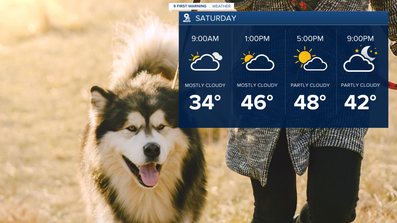
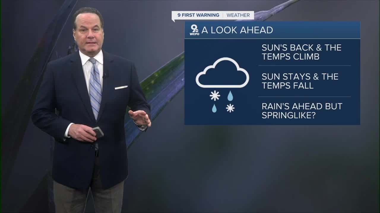
On Saturday, those clouds will gradually thin at times, allowing for intervals of filtered sunshine. With warmer air continuing to move in, temperatures will climb well above what we typically expect for late December. It will feel noticeably milder, especially during the afternoon.
Changes arrive Saturday night into Sunday as a cold front sweeps through the area. A cold front marks the leading edge of colder, denser air pushing out warmer air. Behind this front, temperatures will drop sharply, and Sunday will feel much colder compared to Saturday. Skies may turn mostly sunny with this drier air.

Sunday is also the winter solstice. This is the day with the shortest amount of daylight and the longest night of the entire year in the Northern Hemisphere. It happens because Earth’s axis is tilted, and on the winter solstice, our part of the planet is tilted farthest away from the sun. After Sunday, the days slowly begin getting longer again.
Our next chance for rain comes on Tuesday as another cold front moves through, bringing clouds and scattered showers. Behind that system, yet another surge of warm air arrives, sending temperatures climbing again. By Christmas, highs hit 60 degrees or better, a surprisingly warm finish to the holiday week.
TONIGHT
Few clouds
Chilly
Low: 24
SATURDAY
Partly cloudy
Warmer and breezy
High: 50
SATURDAY NIGHT
Few clouds
Chilly
Low: 28
SUNDAY
Partly cloudy
Colder
High: 38
9 First Warning Weather 24/7 Livestream
==========
- Interactive Radar: Track weather to your doorstep
- Sign up for severe weather email alerts
- Check latest school closings and delays
- WCPO traffic updates
- Metro bus detours and updates (or call the hotline at 513-632-7538)
- Latest power outages from Duke Energy
- Flight cancellations and delays from CVG, other U.S. airports
