


Clear skies will give way to increasing cloud cover just ahead of daybreak as a weak disturbance approaches from the west. These clouds will act like a blanket, trapping the day’s air closer to the ground and limiting how much temperatures drop. Even so, morning lows will still settle into the low 20s.

Tuesday will feel more seasonal, with afternoon temperatures returning to near-normal levels of the mid-40s for this time of year. Skies will become partly cloudy.
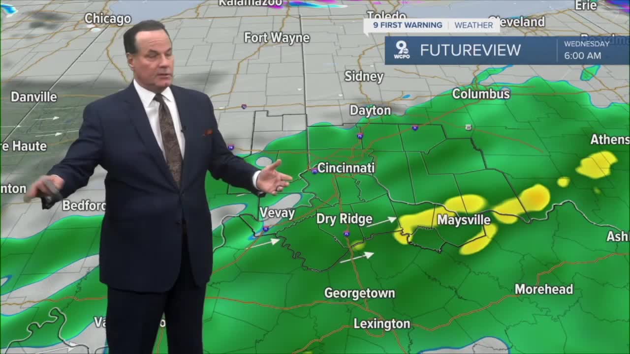
By Wednesday, a broader system will sweep through, drawing in enough moisture and warmer air for a period of steady rain early in the day. As the system departs, arctic air quickly presses in from the northwest, and temperatures will tumble on Wednesday night. That rapid cooling will allow the lingering moisture to transition to a few snow showers before midnight.

The true punch of cold arrives late Thursday into Friday morning. With the arctic air firmly in place, any new disturbance can easily produce snow. A light but accumulating snowfall is expected by Friday morning, likely on the order of 1 to 2 inches, and that's enough to create slick spots for the early commute.

The bitter air will stay locked in through early next week, keeping temperatures well below average and maintaining a wintry feel. Looking a bit farther ahead, another weak wave may ride along the boundary of this arctic air mass Saturday night, bringing yet another chance for light snow.
OVERNIGHT
Clouding up for the morning
cold
Low: 22
TUESDAY
Partly Cloudy
Windy afternoon, gusts to 25mph
High: 42
TUESDAY NIGHT
Steady temperatures
Overcast, very windy
Low: 36
9 First Warning Weather 24/7 Livestream
==========
- Interactive Radar: Track weather to your doorstep
- Sign up for severe weather email alerts
- Check latest school closings and delays
- WCPO traffic updates
- Metro bus detours and updates (or call the hotline at 513-632-7538)
- Latest power outages from Duke Energy
- Flight cancellations and delays from CVG, other U.S. airports
