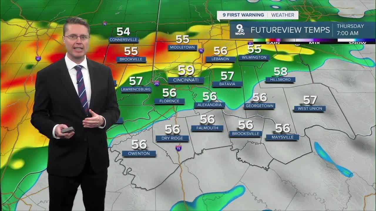


Here’s how the weather story is shaping up across Greater Cincinnati as we head through the rest of the week. Warm air is pushing north into the Ohio Valley. This return of milder air will set the stage for a more active weather pattern through Thursday.
The most active period of the week looks to arrive Thursday into Thursday night. Showers and thunderstorms will become more widespread as a stronger system approaches from the west. The Storm Prediction Center highlights that some instability combined with strong wind shear could support a few stronger storms, especially later in the day and into the evening hours. While this does not appear to be a big severe weather setup right now, a few storms could produce gusty winds and heavy downpours.
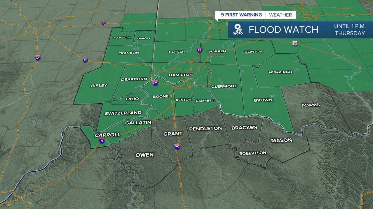
Because several rounds of rain are possible through Saturday, localized flooding will be something to watch. The Weather Prediction Center indicates that repeated rainfall over the same areas can sometimes lead to quick rises on small streams and creeks. At this point widespread flooding is not expected, but pockets of heavier rain could cause brief issues in low-lying or poor drainage areas.
By Friday a cold front will sweep through the Ohio Valley into Saturday, bringing an end to most of the rain and possibly a few gusty winds as cooler air moves in. The weekend then trends quieter and cooler, with partly cloudy skies by Sunday and temperatures dropping back closer to normal for early March. By the end of the weekend the atmosphere should settle down, giving Cincinnati a break after a fairly active stretch of weather
OVERNIGHT
Showers and storms
Low: 56
THURSDAY
Morning rain
Spotty p.m. rain
High: 67
THURSDAY NIGHT
Overcast
Spotty rain
Low: 58
9 First Warning Weather 24/7 Livestream
==========
- Interactive Radar: Track weather to your doorstep
- Sign up for severe weather email alerts
- Check latest school closings and delays
- WCPO traffic updates
- Metro bus detours and updates (or call the hotline at 513-632-7538)
- Latest power outages from Duke Energy
- Flight cancellations and delays from CVG, other U.S. airports
