


Well, here it comes again!
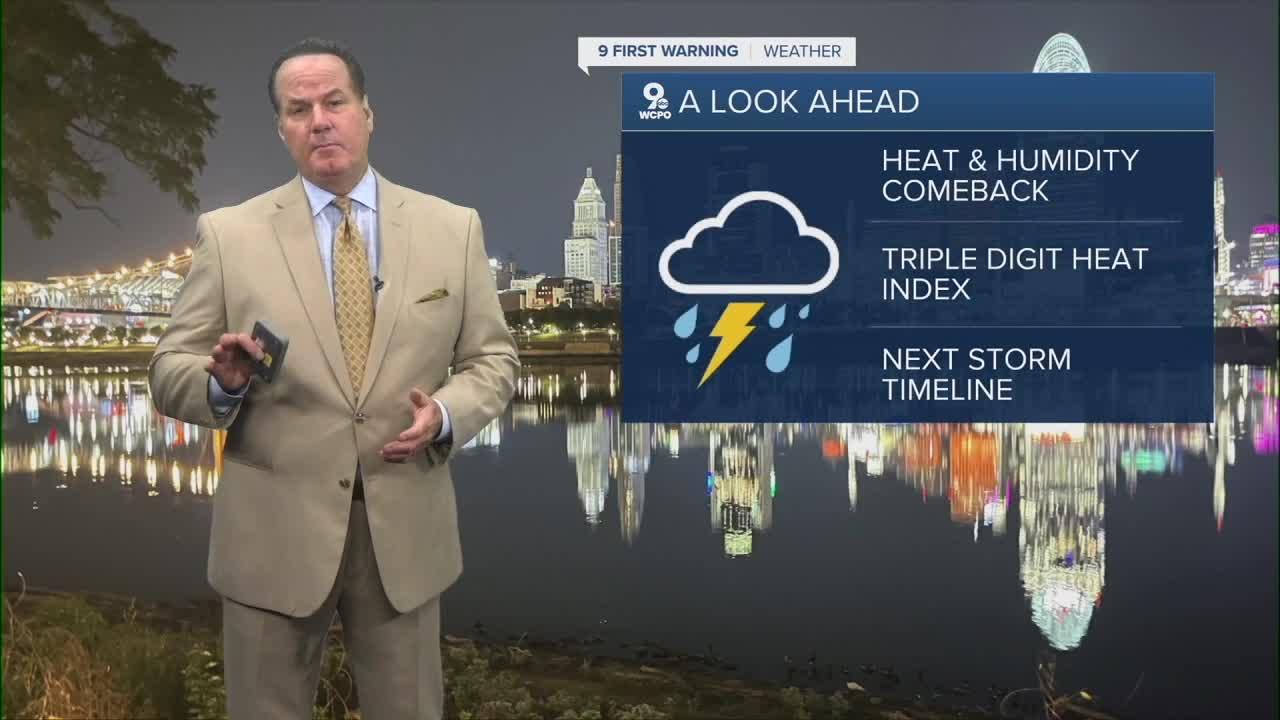
Hot, humid air out of the southwest is ready to invade the Tri-State, bringing uncomfortable conditions across the area. As for the morning, it'll be humid but not overly so, with morning lows dropping to the mid to upper 60s by 7 am.

Friday will be hot, and the heat index begins to climb. It'll feel like the low to mid-90s during the afternoon under mostly sunny skies.

Then, the weekend hits, and so does the oppressive air. Dewpoints climb, and that will send the feels-like temps to triple digits through Monday.

While there's an indication of a rain chance Sunday afternoon, it appears the first significant chance for widespread rain and storms comes mid-week.
OVERNIGHT
Mostly clear
muggy
Low: 68
FRIDAY
Mostly sunny
hot and humid
High: 89
FRIDAY NIGHT
Fair skies
more humid
Low: 70
9 First Warning Weather 24/7 Livestream
==========
- Interactive Radar: Track weather to your doorstep
- Sign up for severe weather email alerts
- Check latest school closings and delays
- WCPO traffic updates
- Metro bus detours and updates (or call the hotline at 513-632-7538)
- Latest power outages from Duke Energy
- Flight cancellations and delays from CVG, other U.S. airports
