


We’re in a cool, dry stretch to start, and that’s why frost is a big concern through the weekend. A FROST ADVISORY is out for the Tri-State. In some spots, morning lows will start closer to freezing than even frosty ones.

Skies partially clear and winds go calm, which allows the warmth of the day to escape quickly. Specifically, it’s a classic frost setup. We’ll see another frosty morning on Sunday.

During Saturday, sunshine helps things rebound, but that northerly wind will keep highs cooler than average in the mid to upper 50s, with temps moderating a bit into the low 60s on Sunday. The average at this time of the year is 70.
For the FLYING PIG, volunteers, the kiddos for fun runs, and any cheerleaders, remember you may all need something to stay warm. Temps will be in the low 50s most of the time. For the marathon on Sunday, it’ll be cool/cold. At the start of the 6:30 am race, it’ll be 37 degrees.

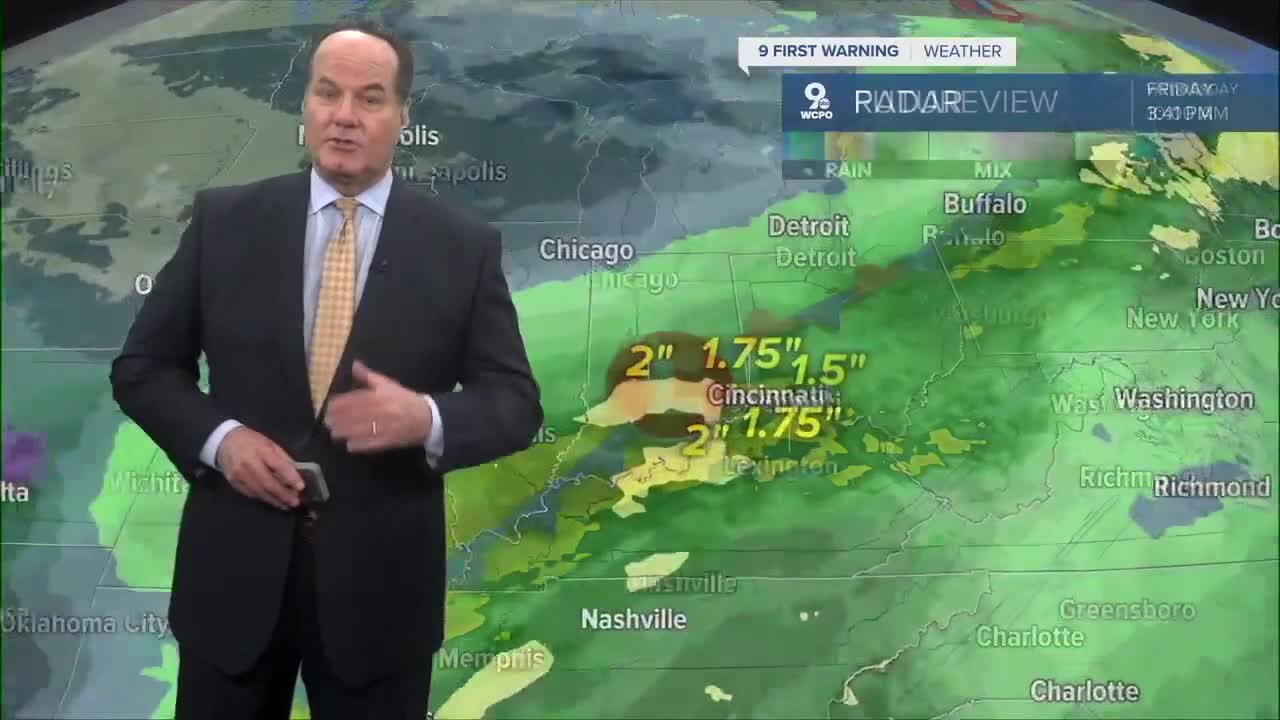
By Sunday night, the pattern begins to shift. High pressure slides east, and the wind flow out of the southwest starts to develop, bringing in more moisture and seasonal air. That’s why shower and storm chances gradually increase late Sunday into next week.
At that point, it’s a more active pattern with multiple disturbances and better moisture, leading to periodic showers and thunderstorms. Plus, the weather will see a milder trend, but more unsettled conditions later in the week.
OVERNIGHT
Becoming mostly clear
Frost Advisory
Low: 37
SATURDAY
Partly cloudy
Chilly
High: 57
SATURDAY NIGHT
Mostly clear
Frost Advisory
Low: 37
SUNDAY
Mostly sunny
Chilly
High: 62
9 First Warning Weather 24/7 Livestream
==========
- Interactive Radar: Track weather to your doorstep
- Sign up for severe weather email alerts
- Check latest school closings and delays
- WCPO traffic updates
- Metro bus detours and updates (or call the hotline at 513-632-7538)
- Latest power outages from Duke Energy
- Flight cancellations and delays from CVG, other U.S. airports
