

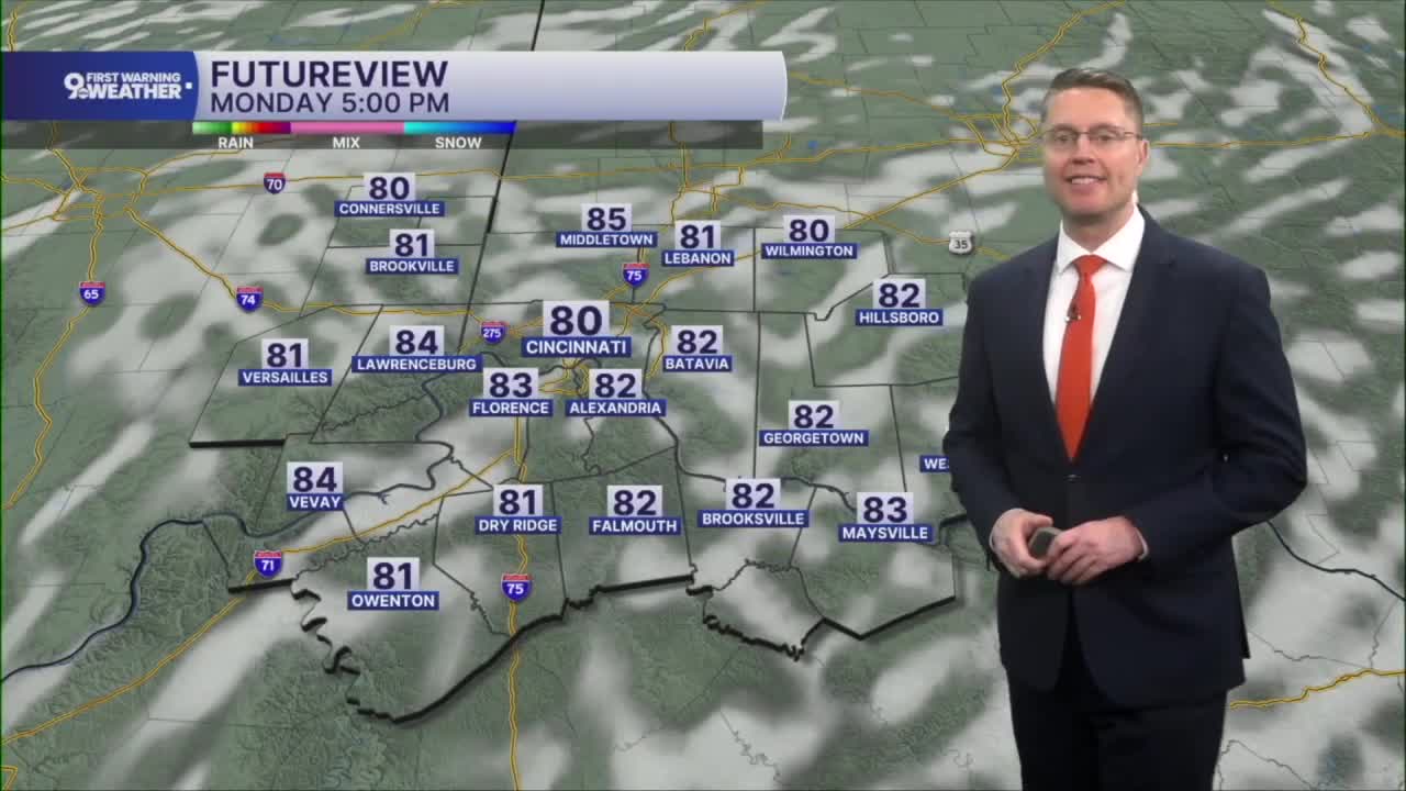



The leftover scattered rain will come to an end across the Tri-State early tonight, so we'll be dry for the Monday morning commute. It will also be a touch cooler with mid 60s early in the day with mostly cloudy skies.
Monday afternoon brings more sunshine, and we keep temperatures a touch below average. Highs will be near 80 in Cincinnati.

The sunshine takes over Tuesday, making for some nice great weather for FC Cincinnati and the Reds. Highs will be in the low 80s.

Wednesday will be partly cloudy as we dodge some scattered showers and storms. Dry areas will warm into the mid 80s.
There is only a small chance for rain Thursday as we continue to warm into the mid 80s with a mix of sun and clouds.
Scattered showers and storms become more common again Friday and through the weekend, but there should be plenty of dry time mixed in too. As we get closer, we'll have a better idea on timing for when that rain is more likely. Highs stay near average, in the mid 80s.
TONIGHT
Mostly cloudy
Spotty rain early
Low: 65
MONDAY
Clearing skies
Finally dry
High: 80
MONDAY NIGHT
Mostly clear
Cooler
Low: 63
TUESDAY
Mostly sunny
Muggy
High: 83
9 First Warning Weather 24/7 Livestream
==========
- Interactive Radar: Track weather to your doorstep
- Sign up for severe weather email alerts
- Check latest school closings and delays
- WCPO traffic updates
- Metro bus detours and updates (or call the hotline at 513-632-7538)
- Latest power outages from Duke Energy
- Flight cancellations and delays from CVG, other U.S. airports
