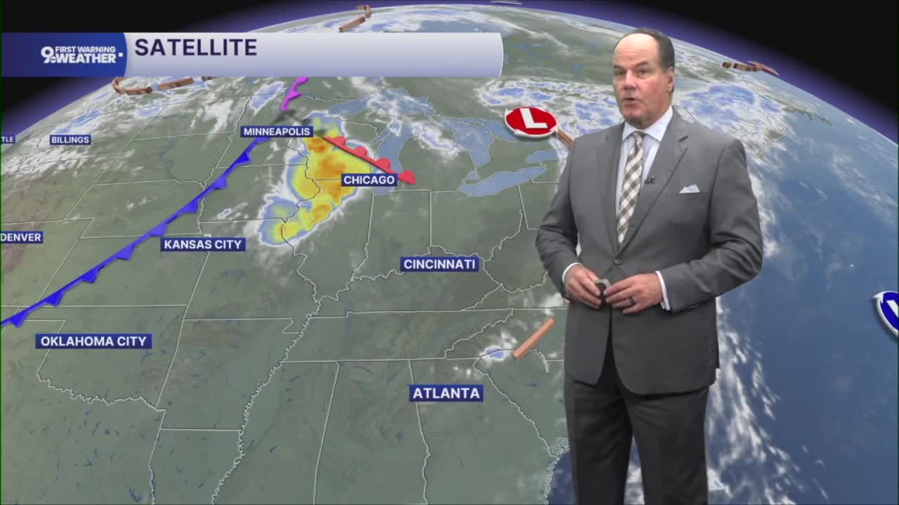


Get ready for another warm and humid day across the Tri-State, with a few opportunities for showers and thunderstorms mixed in over the next several days.
You can expect a mild and muggy morning with temperatures holding in the low 70s. There’s a small chance for a shower or thunderstorm in the morning, but many locations will stay dry. At least, our air is doing okay.

Thursday looks quite warm again, with afternoon temperatures climbing into the upper 80s. Humidity will make it feel like the mid to upper 90s again! A few spotty showers or thunderstorms could develop, mainly through the afternoon, but widespread rain is not expected. Any storm that does form could briefly produce gusty winds and heavy downpours.

Friday brings a cold front through the Ohio Valley. That front may trigger a few showers and thunderstorms, especially during the morning. The Storm Prediction Center has us under a "MARGINAL RISK" for severe weather. Once the front moves through, conditions begin to improve, with noticeably lower humidity by Friday night. Temperatures will fall back into the low 60s overnight under mostly clear skies.

The weekend starts on a pleasant note. Saturday features plenty of sunshine with afternoon temperatures in the mid-80s. Clouds will begin to increase Saturday night, and a few showers may develop toward early Sunday.

Sunday is shaping up to be the wettest day of the forecast period. Showers become likely, with thunderstorms also possible during the afternoon and evening. Plan for periods of rain and some interruptions to outdoor activities. A second cold front moves through by Sunday night, bringing another push of cooler air.
As we head into next week, temperatures settle back into the 70s with a few lingering shower chances on Monday before drier weather and a comfortable stretch return for Tuesday and Wednesday.
OVERNIGHT
Partly cloudy
Very muggy
Low: 72
THURSDAY
Partly cloudy, slight storm chance
Feels like 100 degrees
High: 88
THURSDAY NIGHT
Storm chance
Mostly cloudy and muggy
Low: 71
9 First Warning Weather 24/7 Livestream
==========
- Interactive Radar: Track weather to your doorstep
- Sign up for severe weather email alerts
- Check latest school closings and delays
- WCPO traffic updates
- Metro bus detours and updates (or call the hotline at 513-632-7538)
- Latest power outages from Duke Energy
- Flight cancellations and delays from CVG, other U.S. airports
