

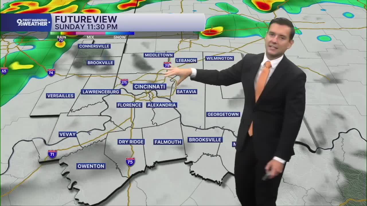


After a stormy and rainy start, we are now drying out.
Once the sun rises, today starts with a break, and much of the day should feature at least some sunshine as temperatures climb back to around 90. But another weather system arrives later in the day as weak low pressure and a cold front move into the Ohio Valley.

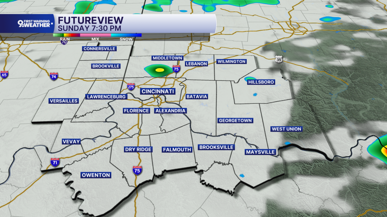
That brings another round of showers and thunderstorms late Sunday into Sunday night, with locally heavy rain possible because the atmosphere remains unusually moist. Once that front passes, the change becomes much more noticeable.
Tomorrow it finally turns cooler and cloudy, with periods of showers and afternoon temperatures only reaching the mid 70s. A slow-moving upper-level disturbance then hangs around through the middle of the week, keeping clouds and occasional rain in the forecast. Tuesday stays mostly cloudy with highs in the mid 70s. Another chance for showers returns Tuesday night and continues Wednesday, when temperatures remain in the low 70s.
Thursday looks mostly cloudy but drier, again with highs in the low 70s. By Friday, the system finally pulls away enough for more sunshine to return, while temperatures remain comfortable in the mid 70s. The big story is the sharp transition from a warm, stormy weekend to a cooler, unsettled first half of next week
THIS MORNING
Partly cloudy
Slight chance storm
Low: 66
SUNDAY
Partly cloudy
Evening spotty storms
High: 89
SUNDAY NIGHT
Partly Cloudy
Mostly cloudy
Low: 65
9 First Warning Weather 24/7 Livestream
==========
- Interactive Radar: Track weather to your doorstep
- Sign up for severe weather email alerts
- Check latest school closings and delays
- WCPO traffic updates
- Metro bus detours and updates (or call the hotline at 513-632-7538)
- Latest power outages from Duke Energy
- Flight cancellations and delays from CVG, other U.S. airports
