




Canadian wildfire smoke has blown into the Tri-State. The air quality in parts of Cincinnati dropped into the "Unhealthy" category Sunday afternoon, but the smoke started to thin out in the evening, the air quality has started to improve. People with respiratory issues may want to still take it easy outside Monday.
With the exception of the smoke, it will be mostly clear overnight. With lower humidity, we cool off a little better than recent mornings. We will be in the mid 60s Monday morning.
Monday afternoon will be a lot like it was Sunday. Highs will be in the mid 80s with a mix of sun and clouds. It's still a little muggy, but it will only make it feel like the upper 80s.
The humidity increases into Tuesday morning, only letting us cool off into the 70s overnight. By late Tuesday morning storms from a cold front over the Great Lakes will move into the Tri-State from the northwest. The timing of these will impact what happens later in the day. If we can dry out long enough in the afternoon, we will warm into the upper 80s. With the higher humidity, it will feel like the upper 90s. This would recharge the atmosphere, and when the cold front gets to us late in the day, it would trigger strong to severe storms. If the morning storms linger too late into the day, it will lower our severe storm threat.
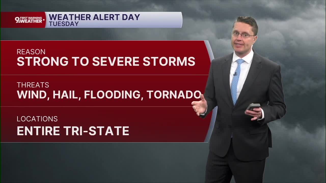
Due to the severe threat, we are issuing a 9 First Warning Weather Alert Day for Tuesday. Damaging winds will be our main concern, but individual storms will also be capable of producing hail and a couple tornadoes in the region. There will also be a large amount of moisture for the storms to work with, so flash flooding will also be possible.

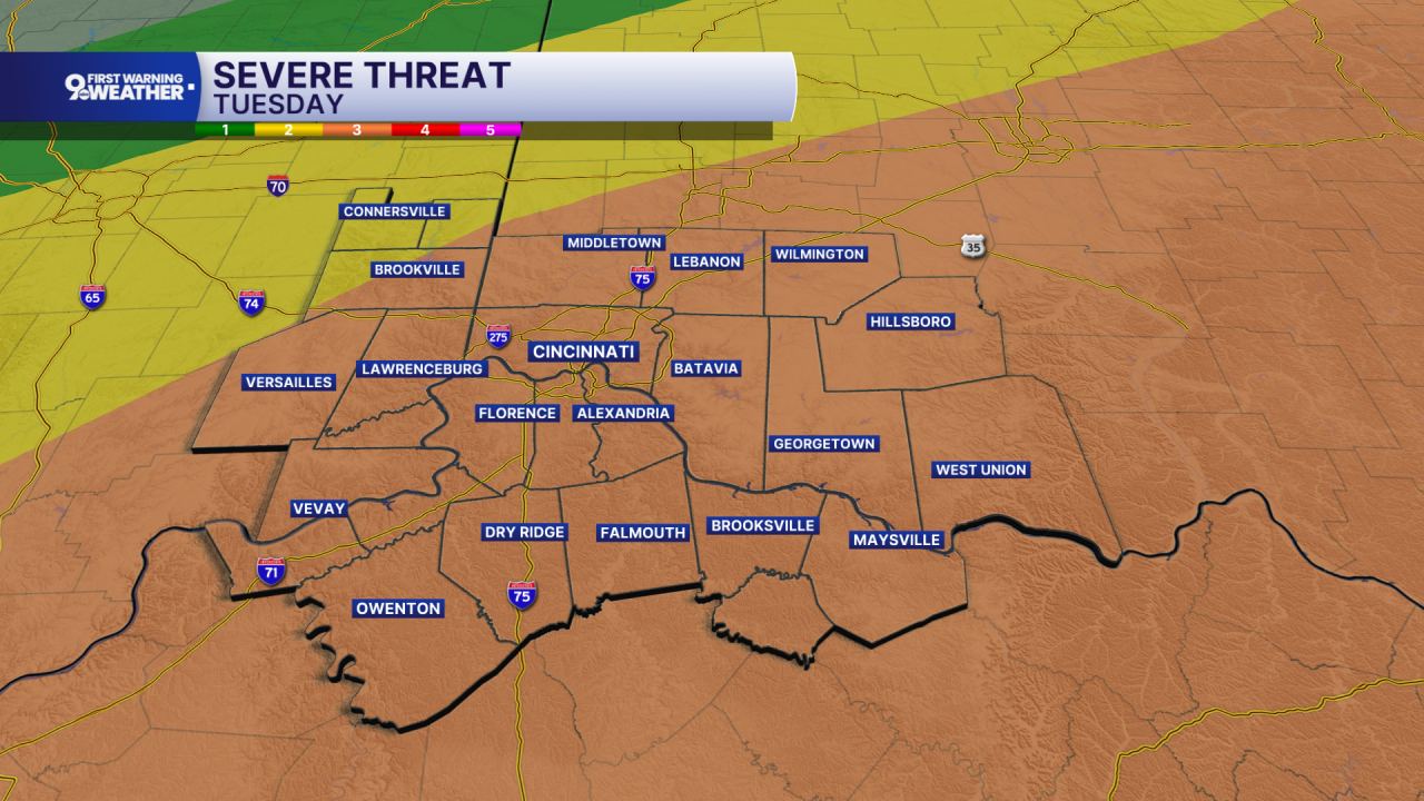
The Storm Prediction Center has placed most of the Tri-State under an "Enhanced" risk for severe storms, which is a level 3 of 5 on their threat scale.
Behind the cold front, we get to enjoy some very comfortable July weather! Wednesday will only be in the upper 70s, followed be a high near 80 in Cincinnati on Thursday. The humidity will also drop quite a bit, allowing us to cool off into the low 60s Thursday and Friday mornings.

Friday afternoon will be in the low 80s with a mix of sun and clouds. A couple spotty showers are possible late in the day, but it looks like most of us will be dry.
We slowly warm up into the mid and upper 80s for the weekend with a little more humidity.
OVERNIGHT
Mostly clear
Smoke thins
Low: 65
MONDAY
Partly cloudy
Near Average
High: 86
MONDAY NIGHT
Mostly clear
Not as cool
Low: 72
TUESDAY
Mostly cloudy
Strong storms
Humid
High: 88
9 First Warning Weather 24/7 Livestream
==========
- Interactive Radar: Track weather to your doorstep
- Sign up for severe weather email alerts
- Check latest school closings and delays
- WCPO traffic updates
- Metro bus detours and updates (or call the hotline at 513-632-7538)
- Latest power outages from Duke Energy
- Flight cancellations and delays from CVG, other U.S. airports
