

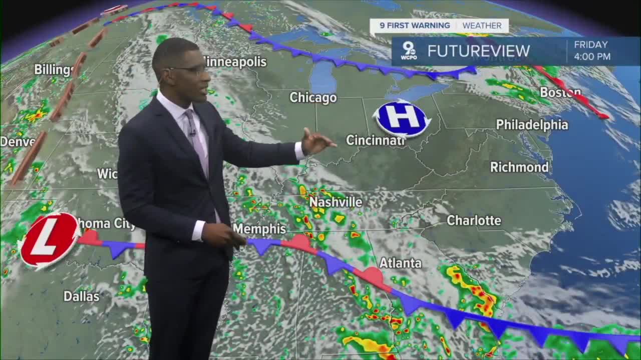


A nice finish to the week with sunshine and highs near 80 on Friday.
As we continue to dry out with no additional rain in the forecast this month, May is ending with a surplus in the bucket. The official rainfall total is 6.35 inches for Cincinnati, which is 2.26 inches above normal.

Get ready for a stretch of dry conditions fitting for your outdoor plans this weekend. Looking ahead into next week as June begins with zero rain chances through the first several days of the month.

The Omega Block is taking form across the country, which is setting up to provide the Central US including the Ohio Valley with warm and dry conditions.
Tonight, expect mostly clear skies in the mid-50s and bouncing back to around 80 by Friday afternoon. This is a home run forecast for some baseball in the city. Reds will take on the braves under partly cloudy skies at first pitch Friday evening.

Mark your calendars for a gorgeous weekend. Highs will top out around 76 for both Saturday and Sunday. Our next best rain chances should hold off until next Friday.
THURSDAY NIGHT
Mostly clear
Cooler
Low: 54
FRIDAY
Mostly sunny
Drier air
High: 79
FRIDAY NIGHT
Few clouds
Cool again
High: 57
9 First Warning Weather 24/7 Livestream
==========
- Interactive Radar: Track weather to your doorstep
- Sign up for severe weather email alerts
- Check latest school closings and delays
- WCPO traffic updates
- Metro bus detours and updates (or call the hotline at 513-632-7538)
- Latest power outages from Duke Energy
- Flight cancellations and delays from CVG, other U.S. airports
