



The overnight stays quiet and mostly clear across the Tri-State, with temperatures settling into the low to mid 60s. Winds will be light from the north.
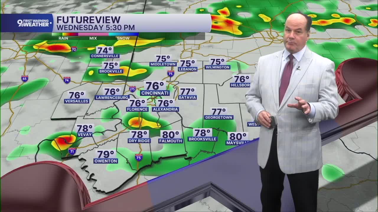
Wednesday starts fairly mild, with increasing clouds and afternoon temperatures near 80. The weather turns more unsettled into Wednesday afternoon as a front drops south from the Great Lakes. Scattered showers and thunderstorms are possible and then expected to develop into the evening. Keep this in mind if you're heading to TQL for the match. Additional storms will develop farther south and continue overnight. Rainfall will generally be around a tenth to a quarter of an inch, although thunderstorms could produce higher amounts. The overall severe-weather threat does not look especially impressive, but locally heavy rain could become a concern in areas that have already undergone major flooding.
Thursday begins cloudy with a slight chance of showers and a few thunderstorms possible after late morning. The sky gradually becomes mostly sunny, with highs in the low 80s.
Friday looks like the quietest day of the stretch, with plenty of sunshine and temperatures around 82.
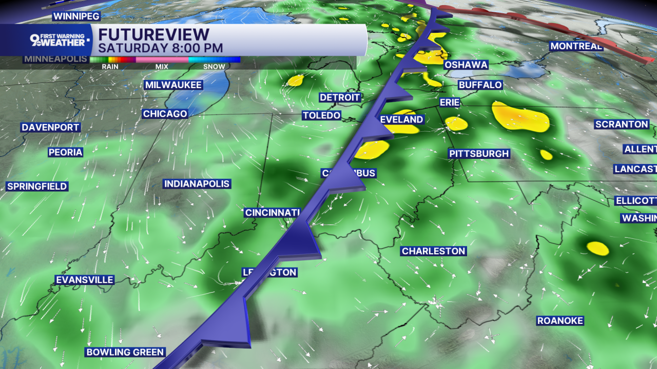
Saturday brings another chance for showers and thunderstorms, mainly during the daytime, with a 30 percent chance overall and highs near 82. The front should move through fairly quickly, helping limit the heavy-rain threat. So, both the FC Cincinnati match and the Bengals game look fine. Sunday then turns sunny and cooler, with highs in the upper 70s and overnight temperatures falling toward 60.
OVERNIGHT
Gradual cloudiness
Dry
Low: 66
WEDNESDAY
Becoming Mostly cloudy
Scattered p.m. rain
High: 81
WEDNESDAY NIGHT
Scattered storms
Mostly cloudy
Low: 67
9 First Warning Weather 24/7 Livestream
==========
- Interactive Radar: Track weather to your doorstep
- Sign up for severe weather email alerts
- Check latest school closings and delays
- WCPO traffic updates
- Metro bus detours and updates (or call the hotline at 513-632-7538)
- Latest power outages from Duke Energy
- Flight cancellations and delays from CVG, other U.S. airports
