


The leftover scattered and light rain will end overnight. So, we're dry for any morning Easter egg hunts and sunrise services, although the grass could still be wet. It will also be chilly in the morning as we drop into the low 40s.
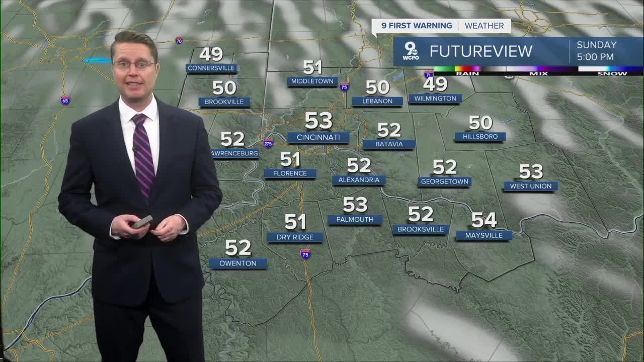
For Sunday afternoon, it will be breezy and a lot cooler. Highs will be in the low 50s with a mix of sunshine and clouds.

Monday will be a little warmer with upper 50s and partly cloudy skies.
Frosty areas will be possible both Tuesday and Wednesday mornings as we drop near freezing. Make sure you protect any plants that are sensitive to the colder weather before heading to bed each night.
Tuesday afternoon will only be in the low 50s with mostly sunny skies, but we push into the upper 60s Wednesday with a few more clouds.
The warm-up continues in the second half of the week. Thursday will be in the low 70s with a mix of sunshine and clouds.
Friday will be in the mid 70s with more clouds than sunshine.
It looks like a round of rain is possible now next weekend, but it's too early to say if it will move through on Saturday or Sunday. We'll keep you updated on the timing as things become more certain. We stay warm with mid 70s both days.

More rain is possible next Monday.
OVERNIGHT
Mostly cloudy
Scattered light rain
Low: 43
EASTER SUNDAY
Partly Cloudy
Breezy
High: 53
SUNDAY NIGHT
Partly cloudy
Cold
Low: 37
MONDAY
Partly Cloudy
Warmer
High: 59
9 First Warning Weather 24/7 Livestream
==========
- Interactive Radar: Track weather to your doorstep
- Sign up for severe weather email alerts
- Check latest school closings and delays
- WCPO traffic updates
- Metro bus detours and updates (or call the hotline at 513-632-7538)
- Latest power outages from Duke Energy
- Flight cancellations and delays from CVG, other U.S. airports
