


Things settle down pretty quickly around Greater Cincinnati, as I’m calling for gradual clearing with a low around 48 by daybreak.
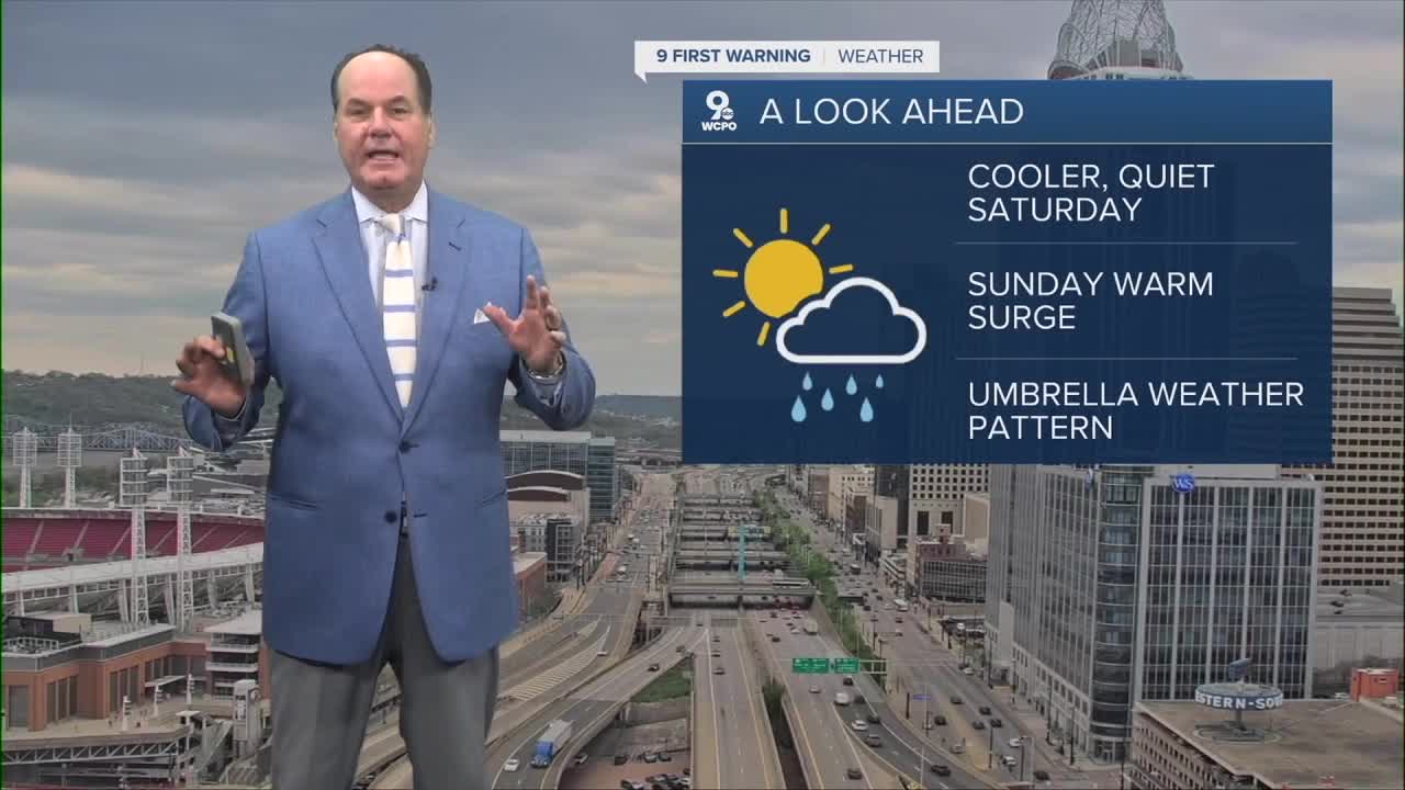
After that, Saturday looks like the quiet break of the weekend, with mostly sunny skies and a high near 70 as high pressure moves through the Great Lakes, bringing in slightly cooler air. By Saturday night, it stays partly cloudy with a low around 53.

Then on Sunday, the warm-up really kicks in! It’ll be mostly sunny skies and highs into the low to mid 80s as a mid-level ridge builds over the Ohio Valley, which supports that warmer setup. Sunday night brings a slight chance of showers after 2 AM with a low around 67.

Enjoy this really nice weather, as we will see off and showers and storms all next week.
OVERNIGHT
Mostly Cloudy
Gradual clearing
Low: 48
SATURDAY
Mostly sunny
& Pleasant
High: 70
SATURDAY NIGHT
Fair skies
Low: 51
SATURDAY
Mostly sunny
Warm
High: 84
9 First Warning Weather 24/7 Livestream
==========
- Interactive Radar: Track weather to your doorstep
- Sign up for severe weather email alerts
- Check latest school closings and delays
- WCPO traffic updates
- Metro bus detours and updates (or call the hotline at 513-632-7538)
- Latest power outages from Duke Energy
- Flight cancellations and delays from CVG, other U.S. airports
