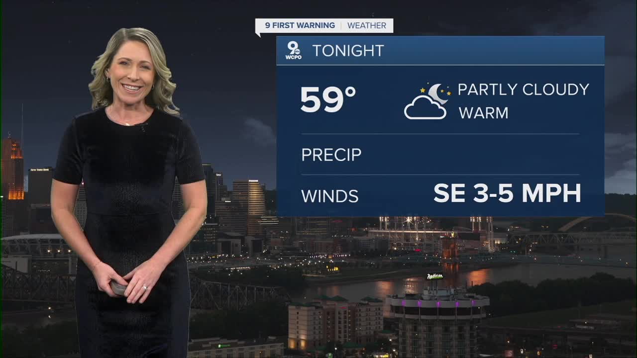


The sky will be partly cloudy overnight and temperatures cool to 59 degrees. It's not as cool as what we experienced this morning.
Mostly sunny conditions are back on Friday as high pressure continues to influence the Ohio Valley and East Coast. This will likely push temperatures a bit higher, into the mid 80s for the day. The one thing that still helps us in the comfort category is the lack of humidity.

The weekend is dry with highs in the mid 80s for both days. High pressure is still firmly in control of the forecast locally. But that is changing next week!

A cold front will come out of the Great Plains and Midwest around Monday night. This will start to bring in rain chances going into Tuesday morning. We'll see scattered showers during the day on Tuesday and that should continue Tuesday night. Some models still keep rain around for Wednesday morning as the boundary finally moves out of our region.
This front isn't just a rain producer, it's a temperature-changing element. Highs on Tuesday will be a bit cooler at 78 degrees, but you'll notice the bigger difference on Wednesday after the rain exits. Highs may only reach the 70 degree mark that day.

THURSDAY NIGHT
Few clouds
Calm
Low: 57
FRIDAY
Sunny
Hot
High: 84
FRIDAY NIGHT
Mostly clear
Warm
Low: 59
9 First Warning Weather 24/7 Livestream
==========
- Interactive Radar: Track weather to your doorstep
- Sign up for severe weather email alerts
- Check latest school closings and delays
- WCPO traffic updates
- Metro bus detours and updates (or call the hotline at 513-632-7538)
- Latest power outages from Duke Energy
- Flight cancellations and delays from CVG, other U.S. airports
