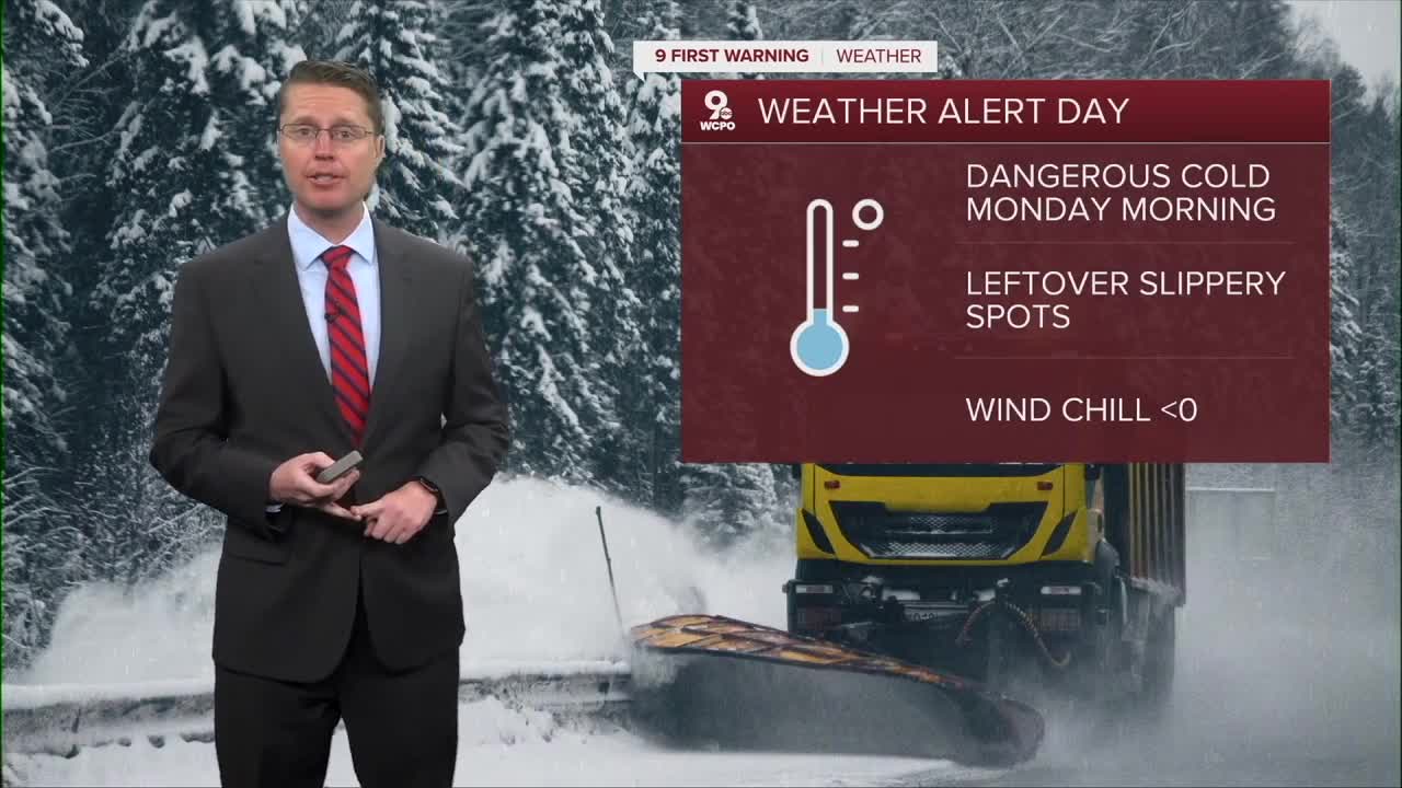


A WEATHER ALERT DAY has been issued for Monday morning. Temperatures will drop into the low single digits for the morning commute. While the wind will be light, it will still drop the wind chill below zero at times.
Once we get through the morning, we start to see some improvements in the weather as the wind slowly shifts out of the south, letting us warm up. Monday afternoon will be mostly sunny with mid 20s.

Tuesday starts in the teens, then we push into the upper 30s for the afternoon with a lot of sunshine.
We start to see a few more clouds on Wednesday, but we push back to average in the mid 40s.
A cold front moves in from the west on Thursday, bringing rain to the Tri-State as early as the morning commute. The rain will continue at times for a majority of the day. Ahead of the cold front, warmer air will blow in, letting us warm into the low 50s.

It will stay windy behind the cold front as colder air blows in to finish off the workweek. This will hold Friday back into the low 30s, but we get the sunshine back.
We manage to warm back into the 40s for the weekend, but another round of rain is looking more likely Saturday night into Sunday morning. Don't worry, there will be plenty of dry time the rest of the weekend.
The 40s continue into early next week.
OVERNIGHT
Mostly clear
Negative wind chills
Low: 2
MONDAY
Mostly sunny
Warmer
High: 26
MONDAY NIGHT
Partly cloudy
Not as frigid
Low: 19
TUESDAY
Mostly sunny
Warmer
High: 37
9 First Warning Weather 24/7 Livestream
==========
- Interactive Radar: Track weather to your doorstep
- Sign up for severe weather email alerts
- Check latest school closings and delays
- WCPO traffic updates
- Metro bus detours and updates (or call the hotline at 513-632-7538)
- Latest power outages from Duke Energy
- Flight cancellations and delays from CVG, other U.S. airports
