



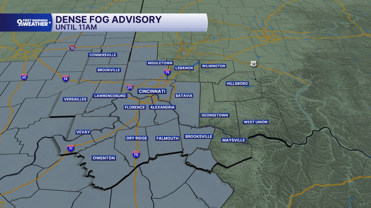
Areas of dense fog have developed for Monday morning. A dense fog advisory will be in effect for the majority of our counties until 11 a.m.
The sky will stay mostly cloudy into the early afternoon and then clouds will slowly decrease, revealing a partly cloudy sky. Temperatures will be warmer thanks to a steady southwest wind. Monday's high will be in the low 80s.
Tuesday will be another warm, above-average day. Temperatures start at64 and warm to 85 degrees. Tuesday's record high is 88 degrees from 1928. The sky will be sunny and southwest winds at 10 mph will continue.
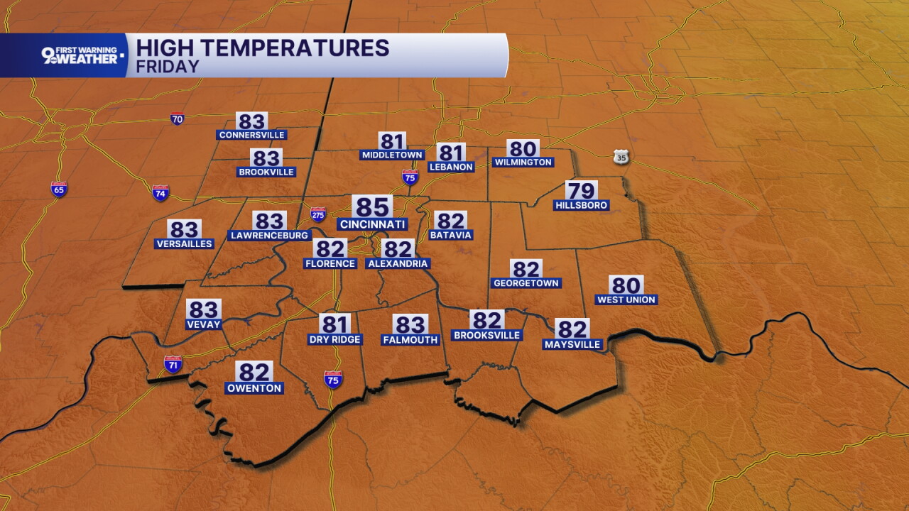
We are looking at a rainier pattern Wednesday through Friday morning. A slow moving system will bring in spotty rain chances in that time period and it will start to cool down temperatures as well. Especially on Friday, expect falling temperatures as the cold front moves out. The high Friday will be in the mid 60s in the morning hours.

We'll dry out for the coming weekend but it's getting cold! We'll start Saturday morning in the low 40s. Sunday morning we'll dip to the mid 30s with patchy frost possible.
MORNING RUSH
Dense fog
Mild
Low: 51
MONDAY
Mostly cloudy
To partly cloudy
High: 81
MONDAY NIGHT
Clear sky
Warm
Low: 64
TUESDAY
Sunshine
Warmer
High: 85
TUESDAY NIGHT
Clouds increase
Mild
Low: 66
9 First Warning Weather 24/7 Livestream
==========
- Interactive Radar: Track weather to your doorstep
- Sign up for severe weather email alerts
- Check latest school closings and delays
- WCPO traffic updates
- Metro bus detours and updates (or call the hotline at 513-632-7538)
- Latest power outages from Duke Energy
- Flight cancellations and delays from CVG, other U.S. airports
